
Desert Landscapes
For most life, living in the desert is difficult. Water is scarce, the sunlight and heat are intense and unforgiving. And many plants have thorns or spikes that quickly remind you to keep your distance. But the desert is also a magical place, where towering cacti frame incredible sunsets, and immense thunderstorms create torrential floods that disappear within hours. Arizona overlaps portions of four different deserts: the Sonoran, Mojave, Chihuahuan, and Great Basin deserts (see the map to the right). In fact, it’s the only state that contains all four deserts. At the moment, most of my images here are from the Sonoran Desert. The Sonoran Desert is unique among deserts because it receives rain in both winter and summer. That, combined with its diverse topography, makes it one of the most biodiverse deserts in the world. Photographing here in the summer is a challenge—carrying the weight of my camera gear in addition to five liters of water and emergency survival gear (not to mention a steel rock hammer and any rock samples I collect)—and attempting to compose a photo while trying not to sit on a cactus, with the acrid mix of sweat and sunscreen pouring down my face and stinging my eyes.
CLICK ON ANY IMAGE TO VIEW SIZES, PRICES, AND BUY
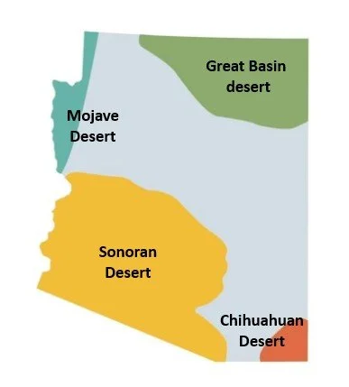
This map is from the American Southwest Group
The beautiful Sonoran Desert
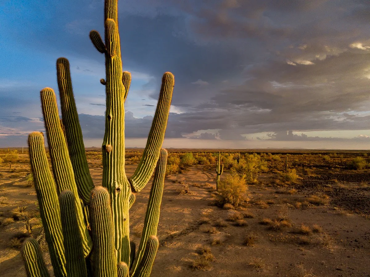
A large saguaro rises in front of a dark sky, near Oatman.
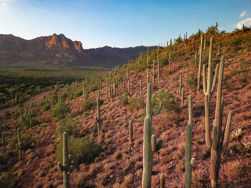
Saguaros cover a red slope south of the Peralta Trailhead in the Superstition Mountains.
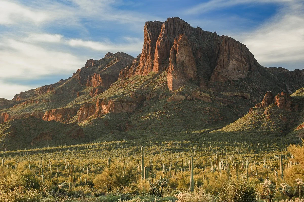
A lone volcanic peak towers above a saguaro forest in the Superstition Mountains.
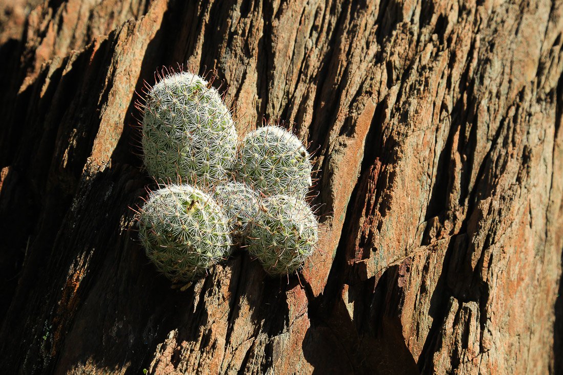
Thimble cactus sprouts from jagged rock south of Gisela.
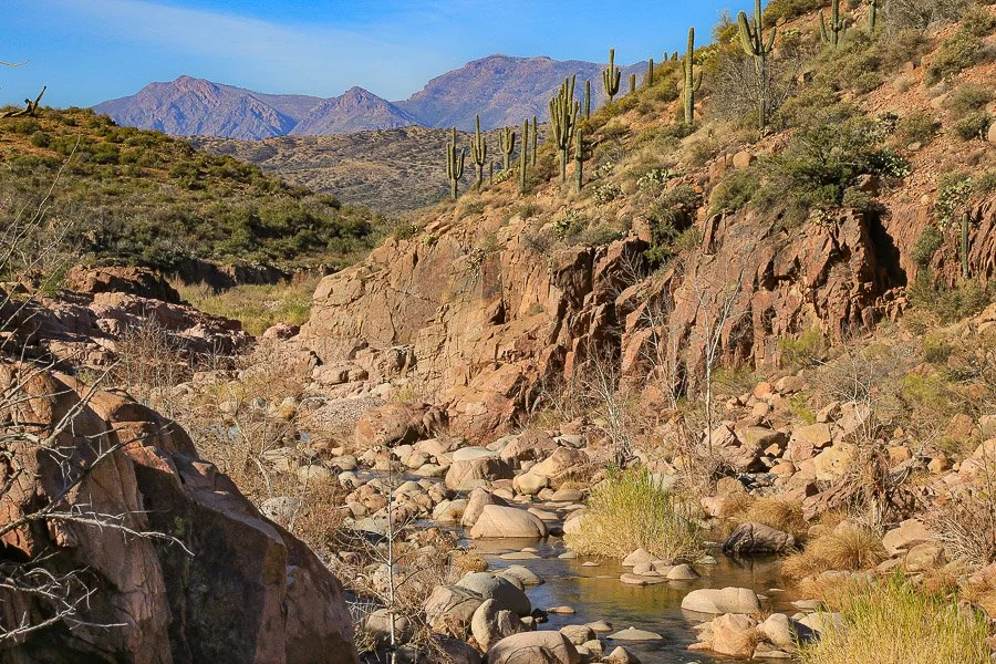
Tonto Creek where it exits the Hells Gate Wilderness.
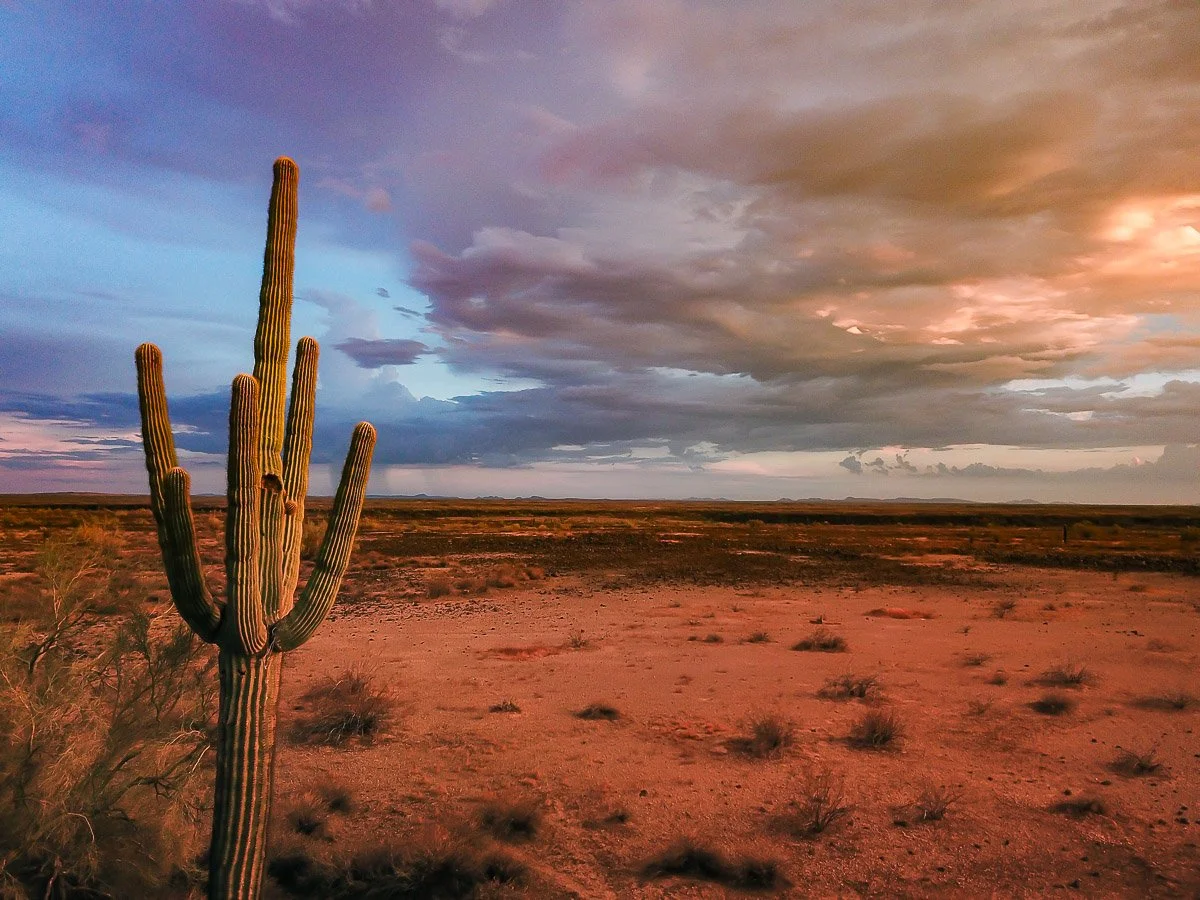
A lone saguaro gazes over a red-tinted desert landscape, close view.
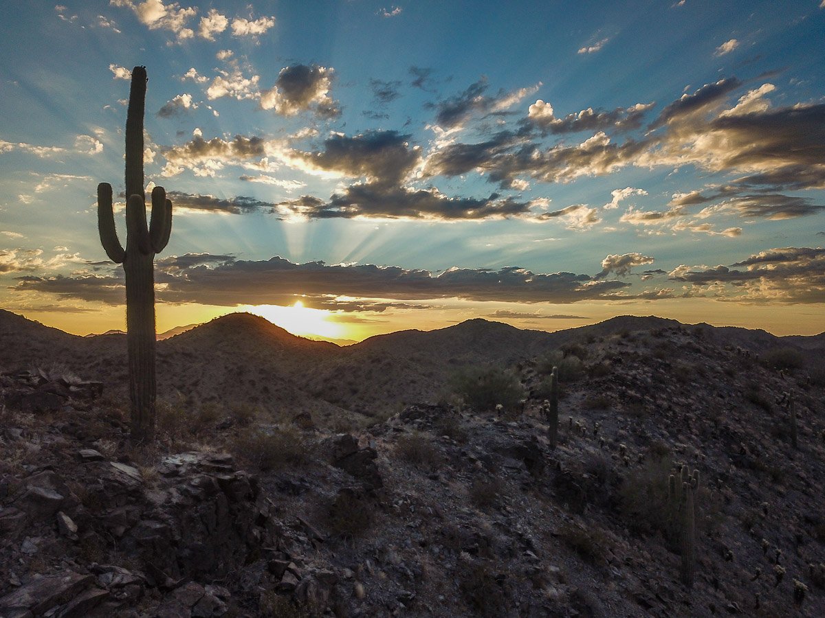
Rays of sunrise silhouette a saguaro in the Little Harquahala Mountains.
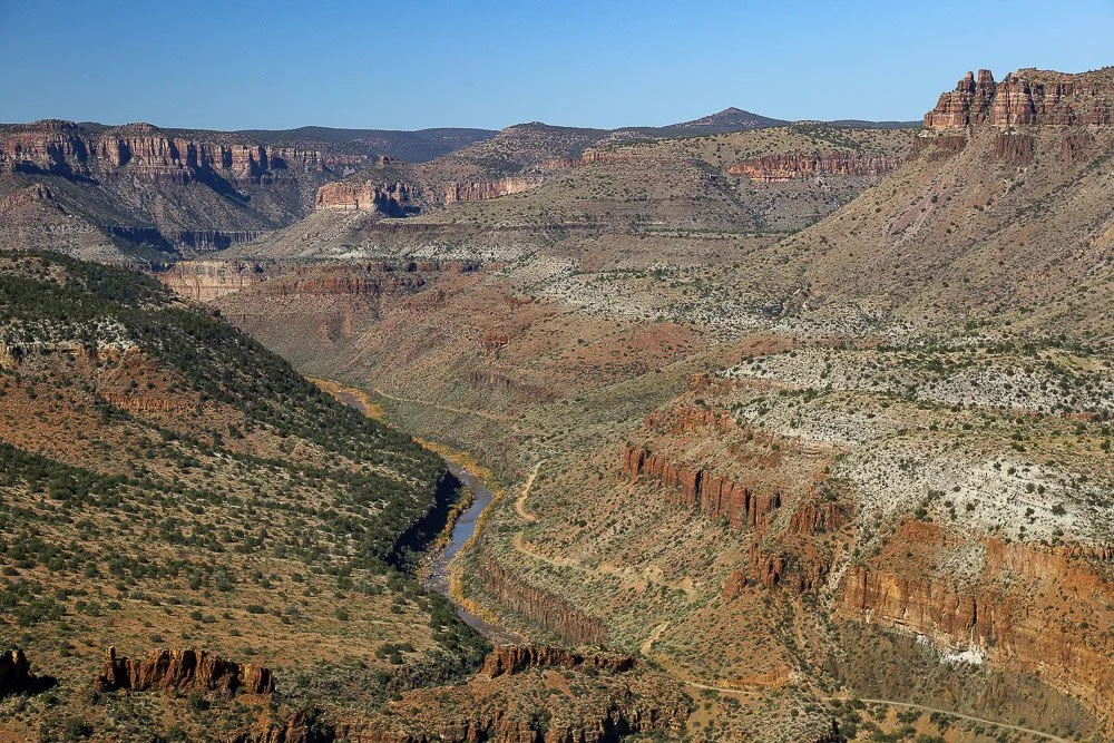
Ancient colored rock layers of the Apache Group in Salt River Canyon.
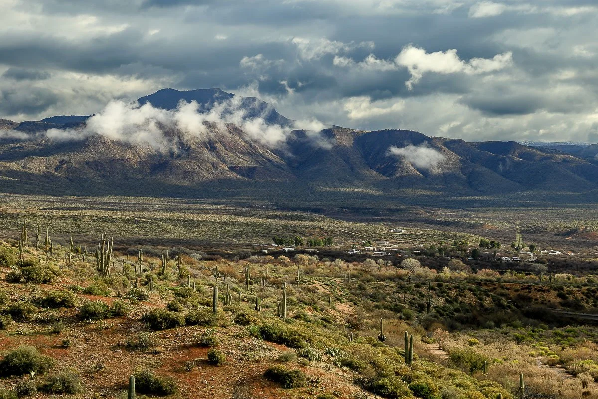
Storm clouds intermingle with mountains above the desert in Tonto Basin.
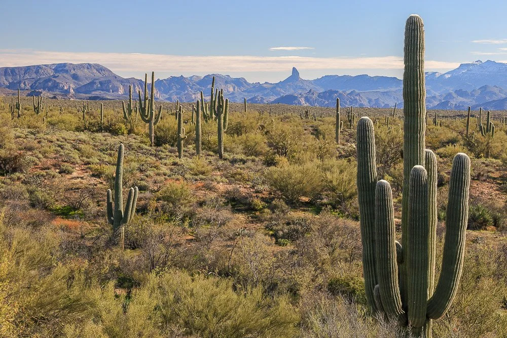
Saguaros and Weavers Needle.
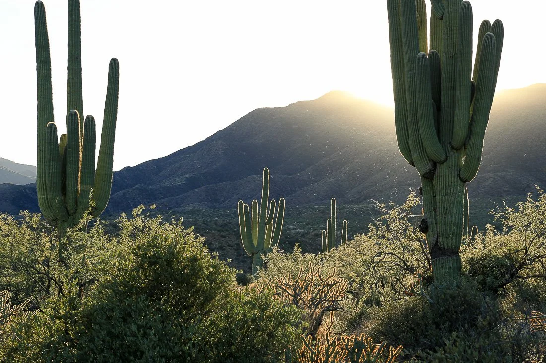
Large saguaros backlit by the golden afternoon sun.
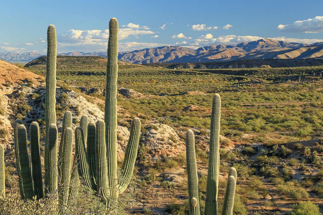
Saguaros and colorful desert in Tonto basin.
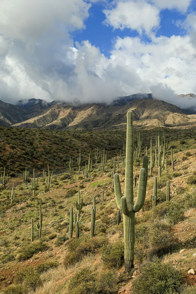
Saguaros on the east slope of the Mazatzal Mountains west of Punkin Center, vertical.
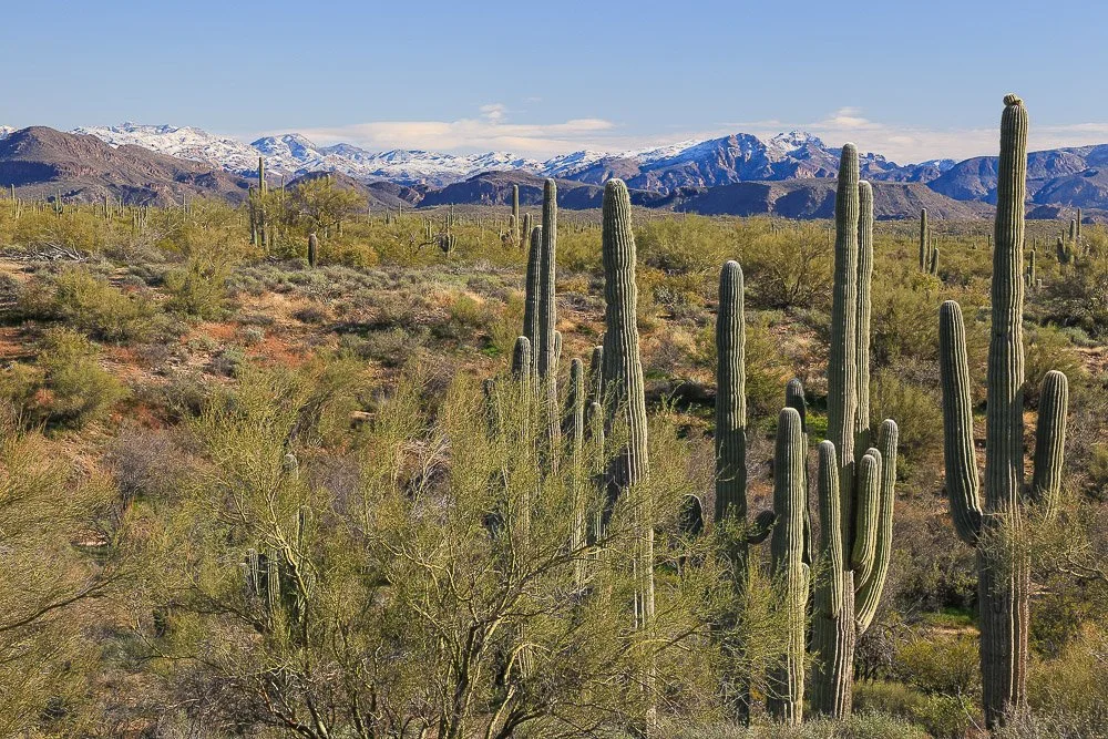
A group of saguaros and palo verde trees form a winter desert landscape.
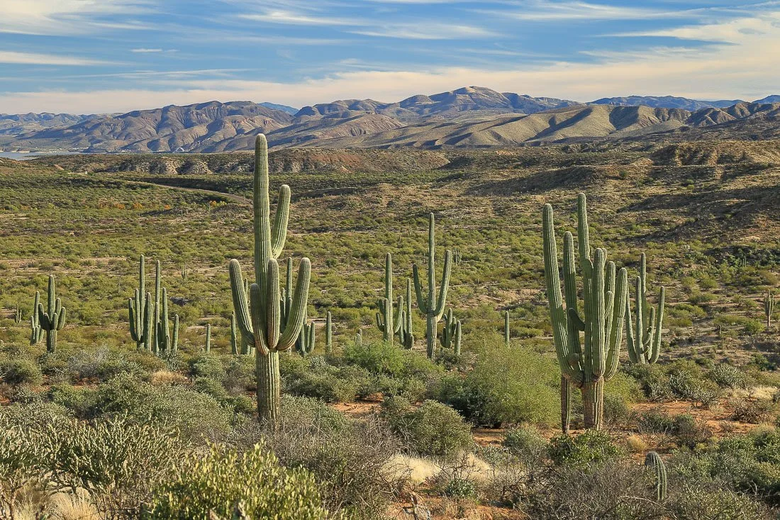
Mature saguaros and distant mountains in Tonto Basin.
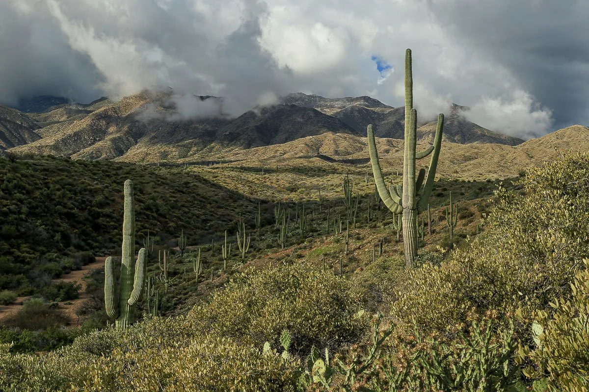
Saguaros on a mountain slope framed by storm clouds in the distance.
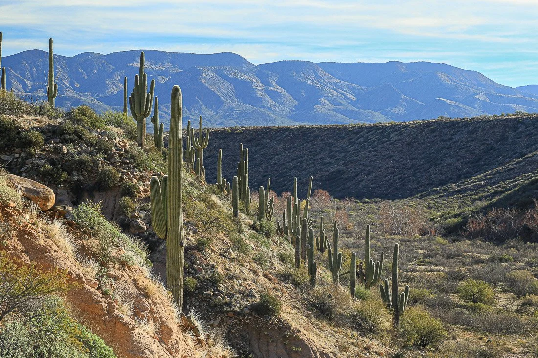
Purple mountains and a slope of saguaros along Sycamore Creek in Tonto Basin.
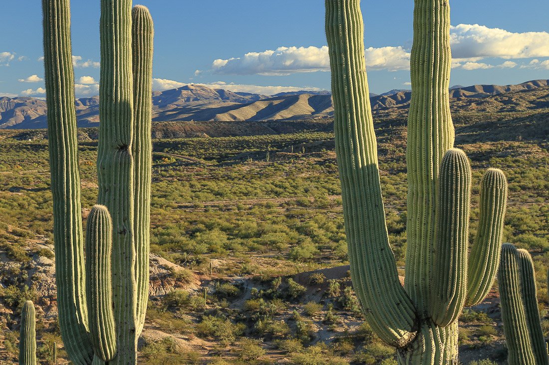
Close-up of saguaros and distant mountains in Tonto Basin.
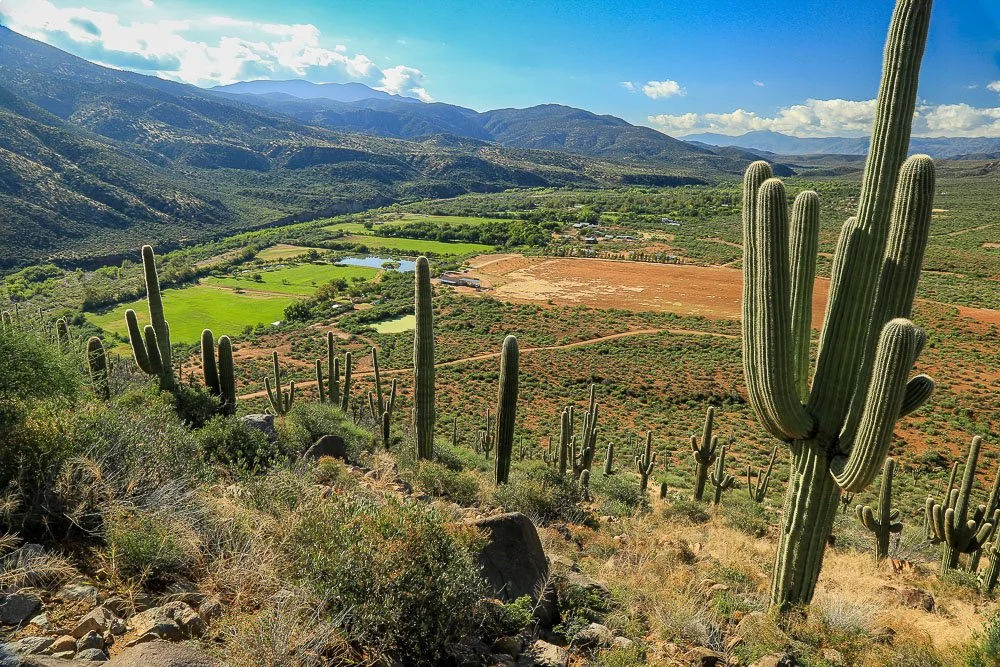
Looking down to the green farms of Gisela past a saguaro-covered slope.
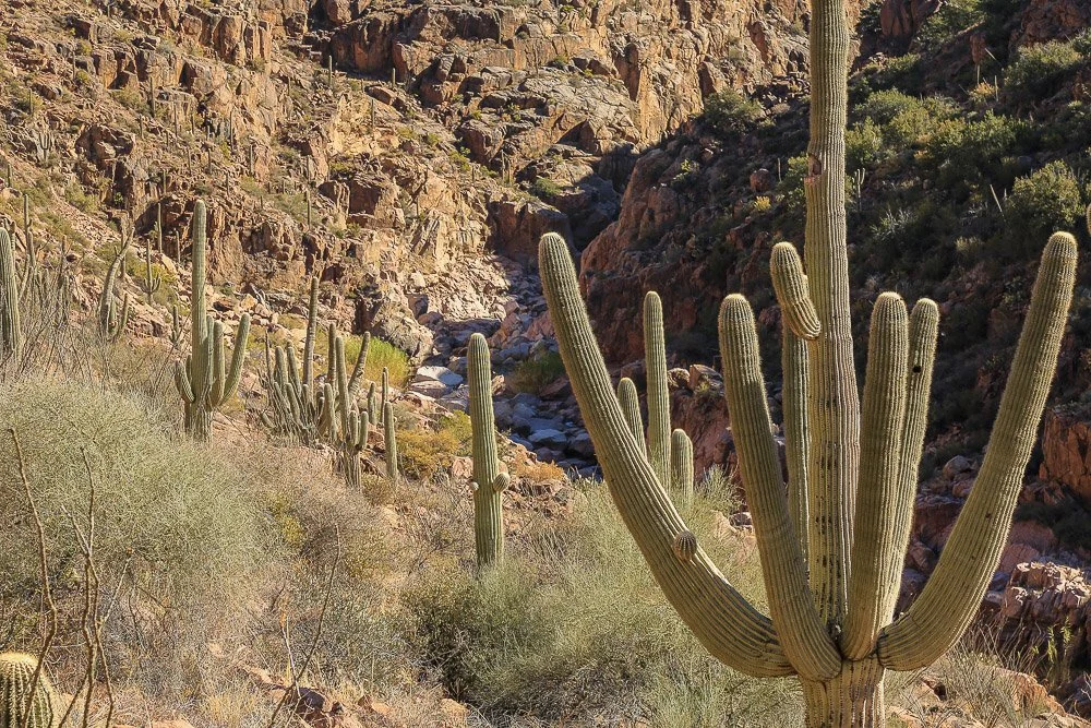
Saguaros guard Hells Gate.
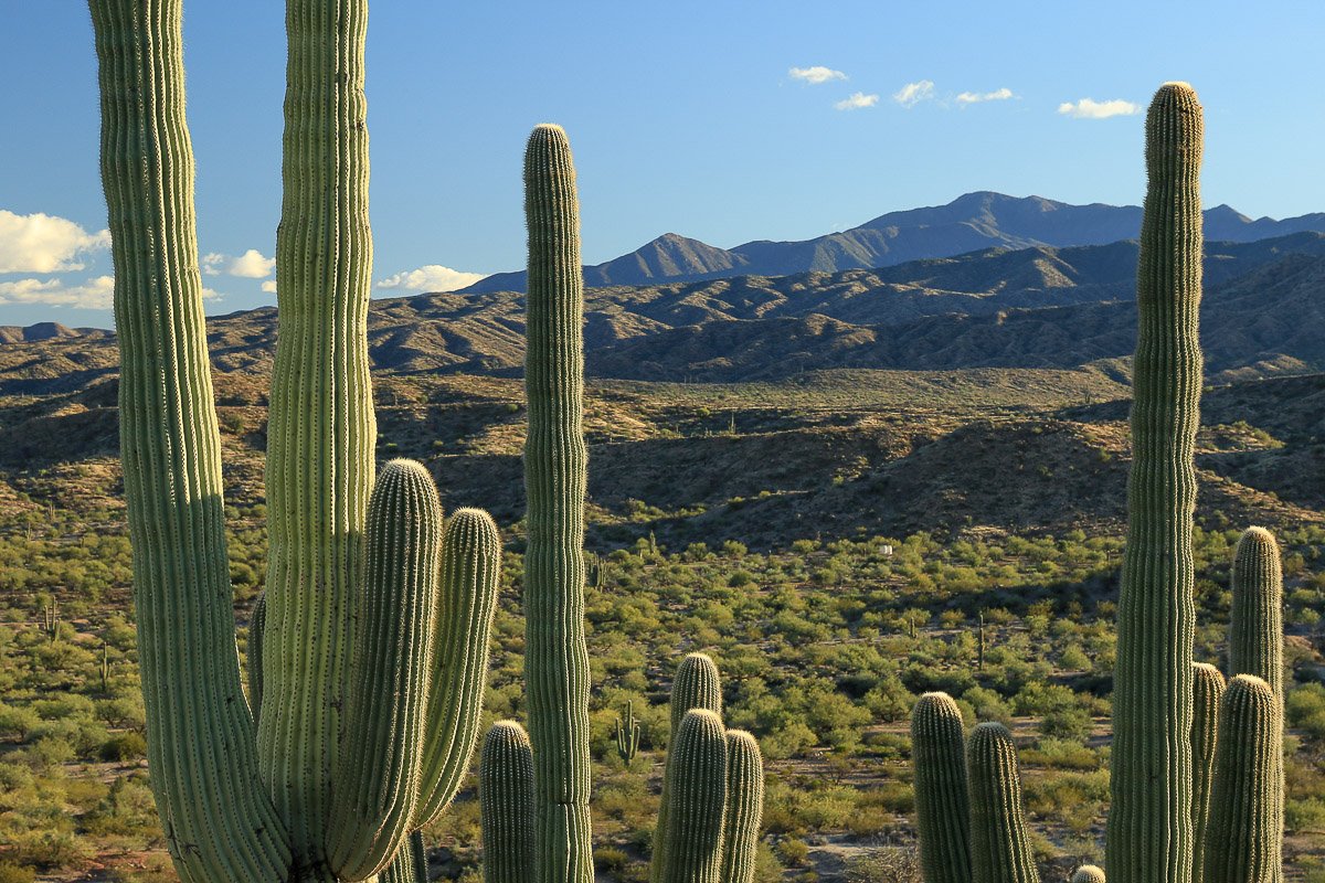
Close-up of saguaros and distant mountains in Tonto Basin 2.
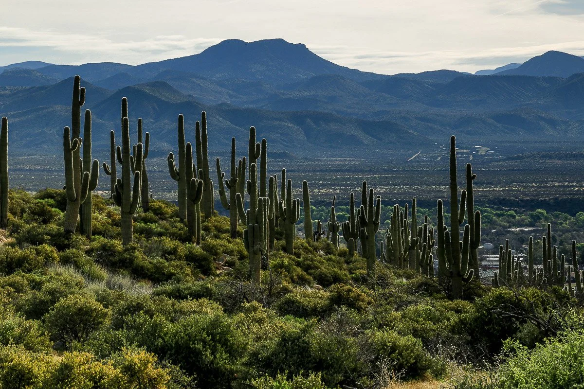
A forest of saguaros covers a hill west of the village of Tonto Basin.
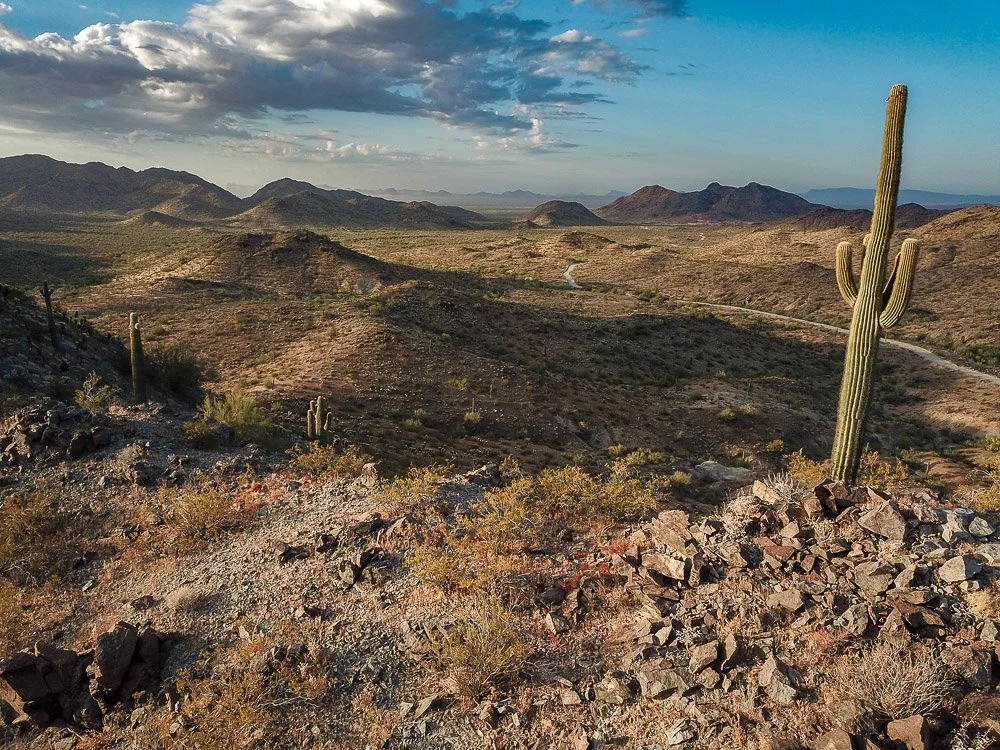
A lone saguaro on a ridge top overlooks the desolate Little Harquahala Mountains in western Arizona.
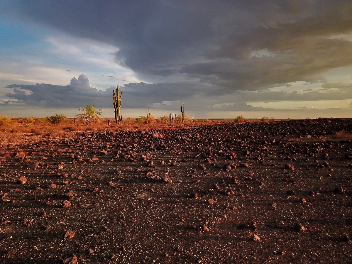
Dark summer storm clouds above the orange-colored barren landscape near Oatman.
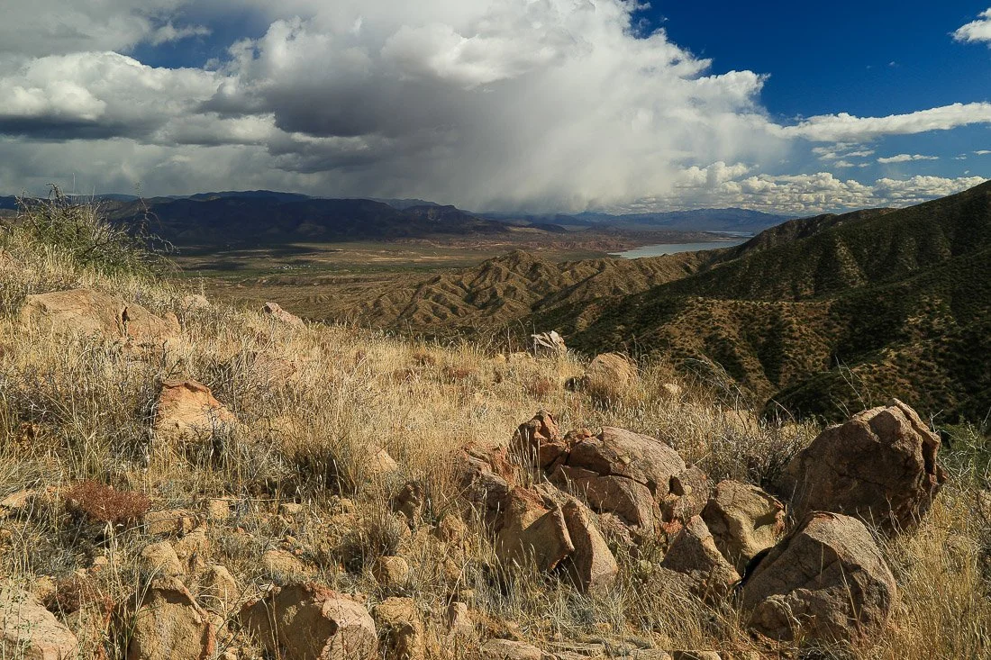
Angular boulders and dry grass await a Spring storm in the southern Mazatzal Mountains near Sycamore Creek.
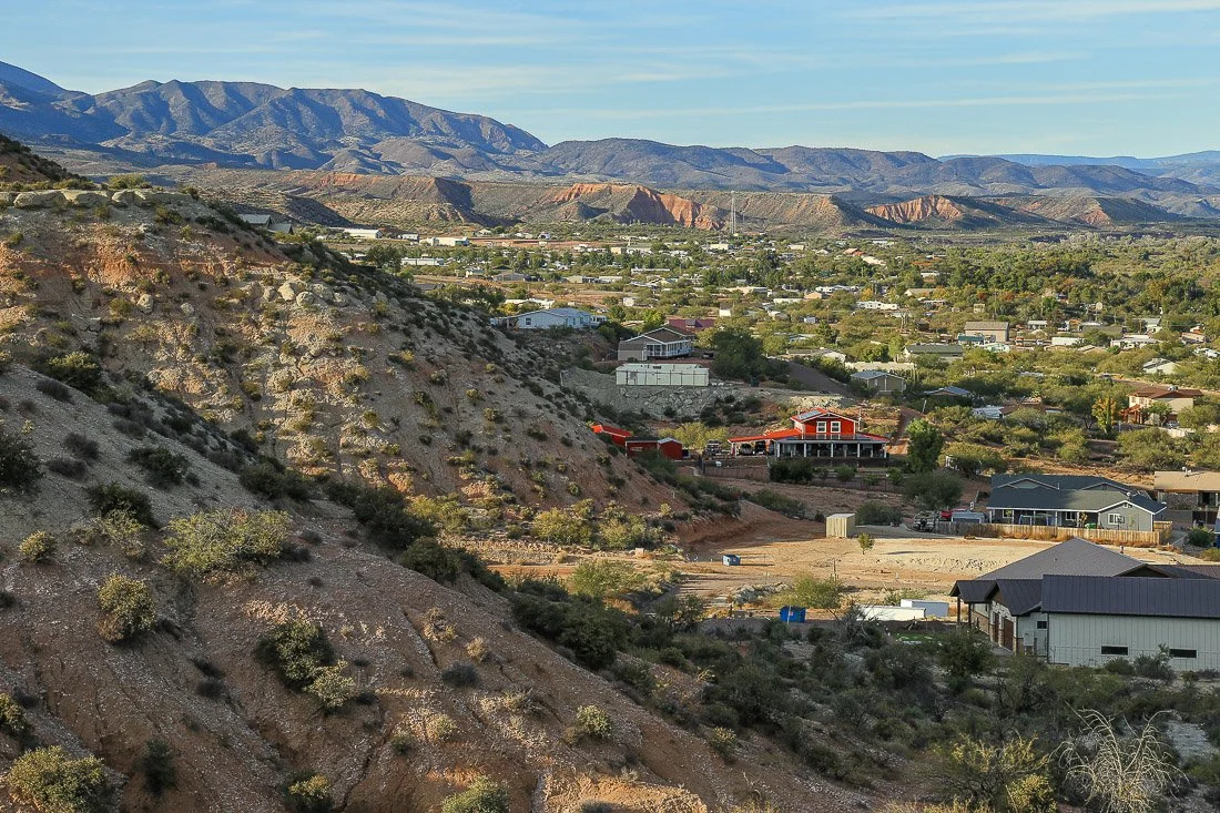
The village of Tonto Basin nestled among red and white hills.
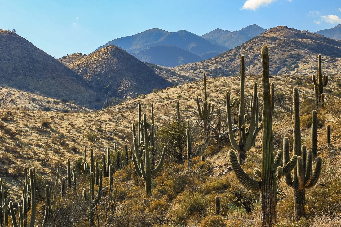
A forest of Saguaro and layers of mountains southwest of Jakes Corner.
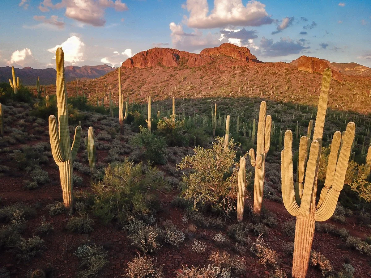
Glowing saguaros and red mountains south of the Peralta Trailhead and the Superstition Mountains.
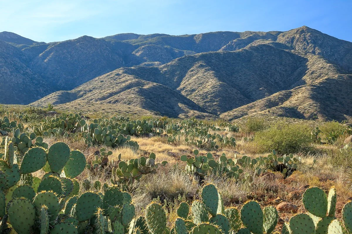
Rugged mountains rise behind a forest of prickly pear cacti.
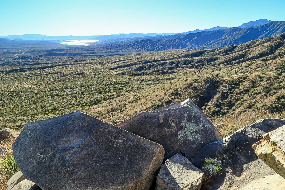
Ancient petroglyphs of animals on angular boulders in Tonto Basin north of Roosevelt Lake.
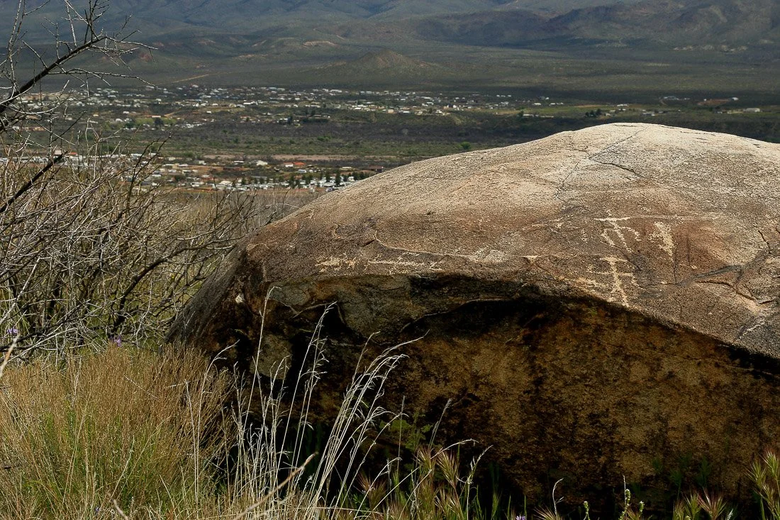
Petroglyphs on a large boulder with the village of Tonto Creek in the distance.
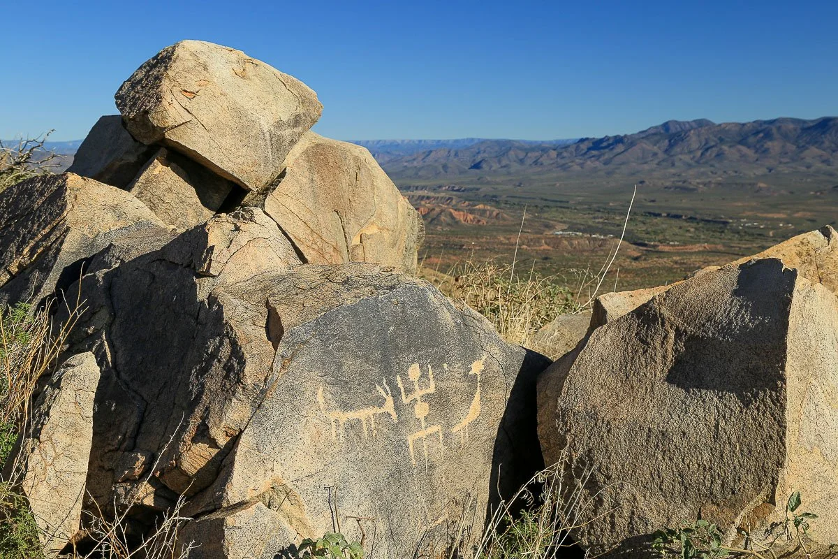
Petroglyphs on boulders west of Punkin Center in Tonto Basin.
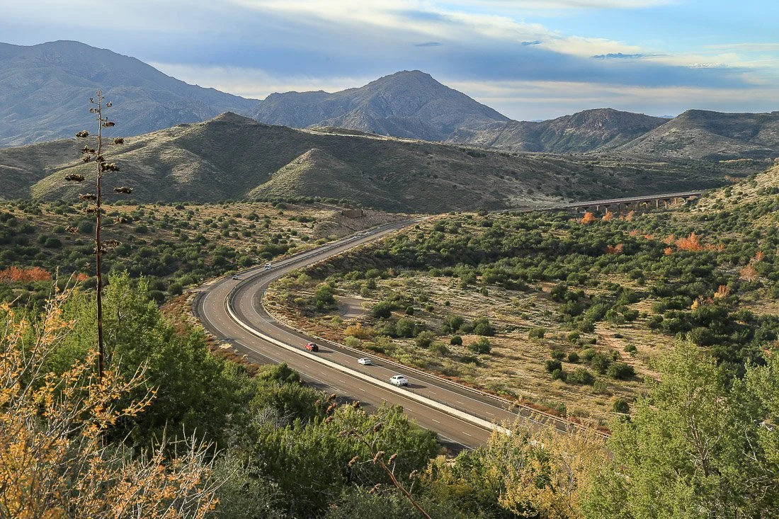
State Route 87 curves through the high desert near Sunflower.
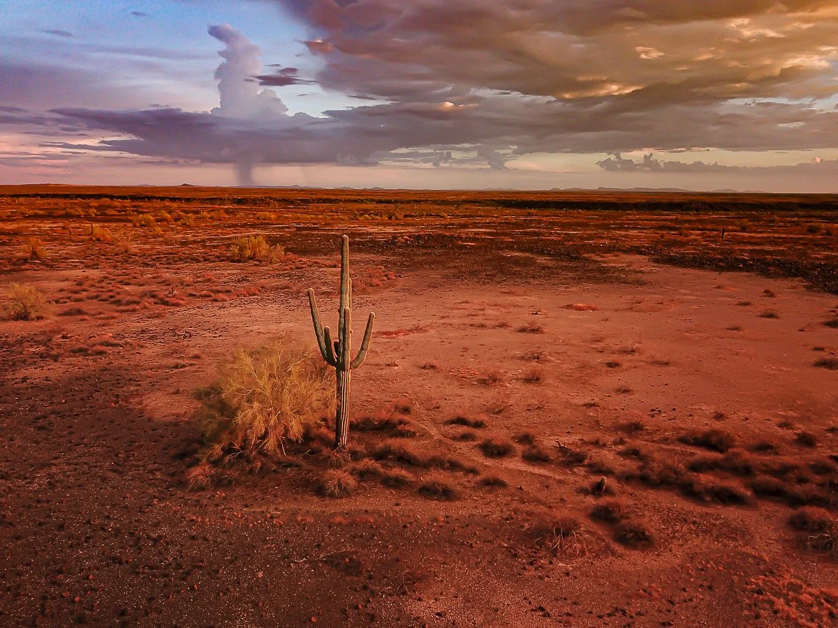
A lone saguaro gazes over a red-tinted desert landscape, wide-angle view.
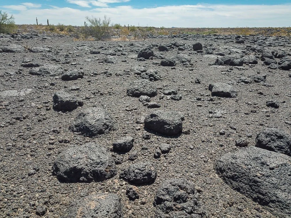
Close-up of the dark, barren, volcanic moonscape west of Sentinel.
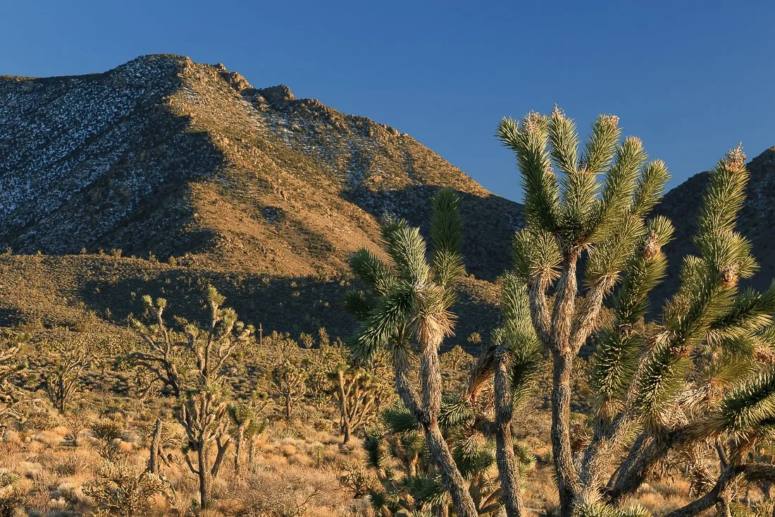
Joshua trees and mountains near Meadville.
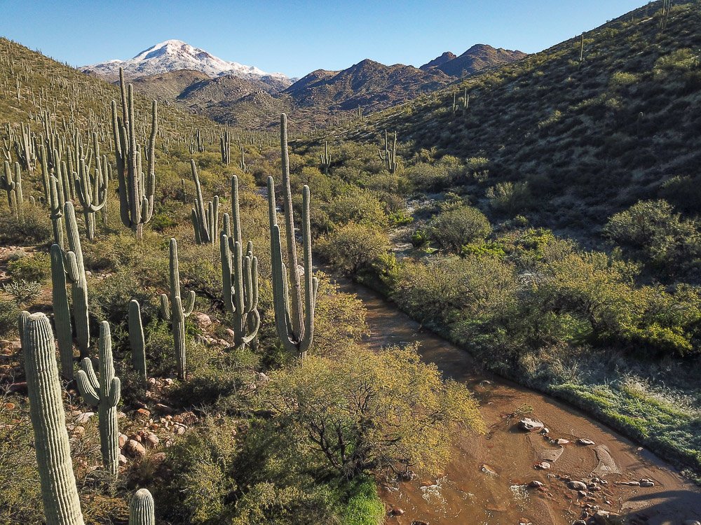
Pine creek flows past a saguaro forest from melting snow on Boulder Mountain.
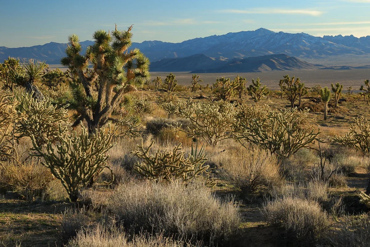
The high desert Landscape north of the Cerbat Mountains.
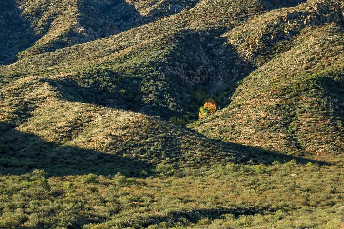
A secluded grove of orange trees hide in a small canyon west of Punkin Center.
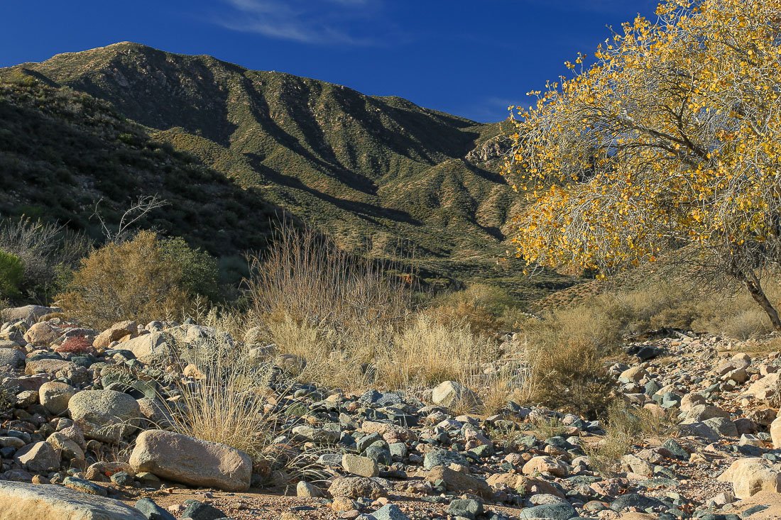
Boulders in a desert stream below mountains.
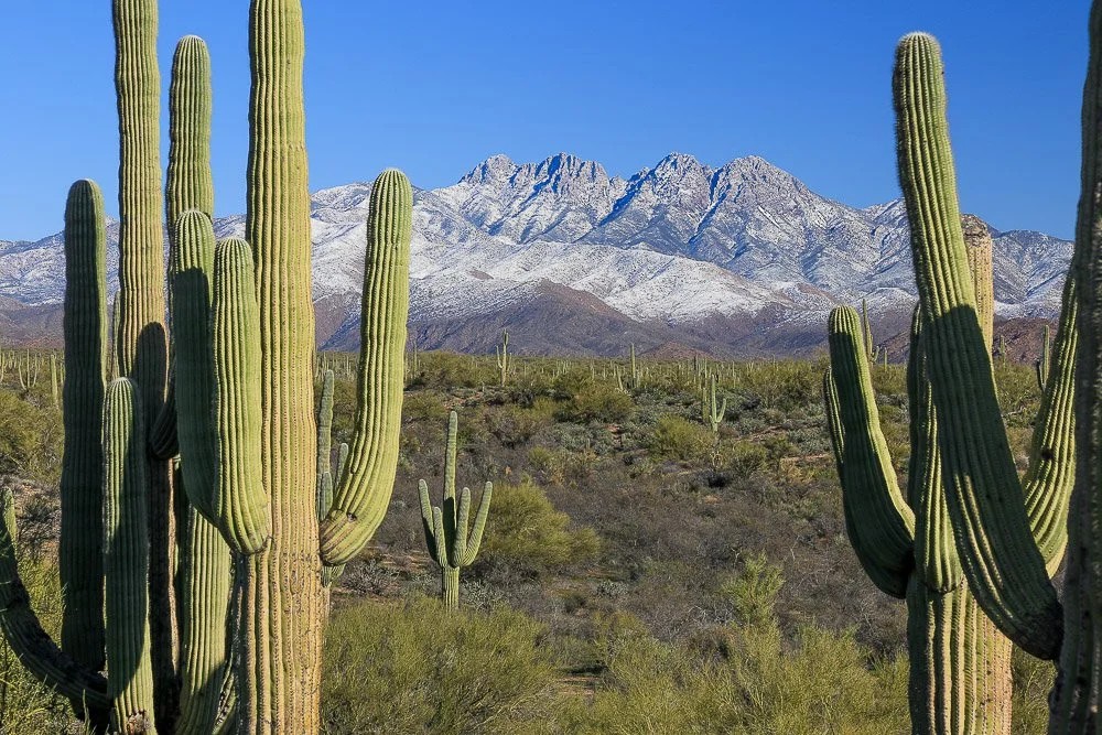
Saguaros frame a snow-covered Four Peaks.
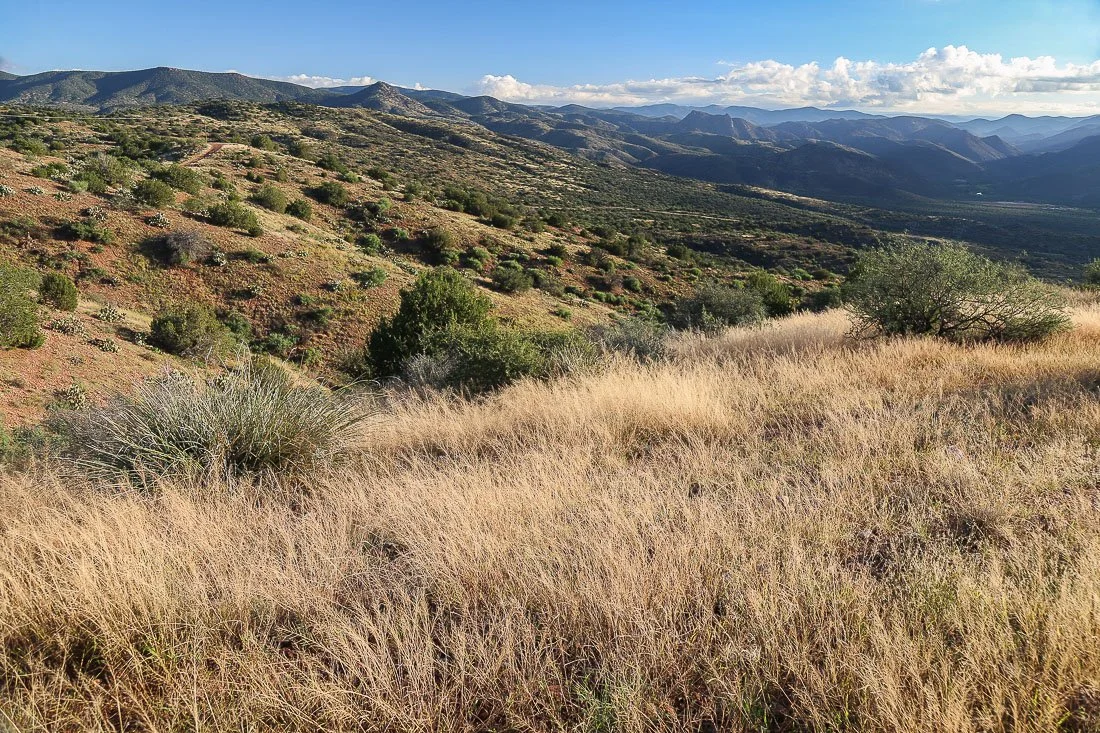
Desert grassland south of Payson.
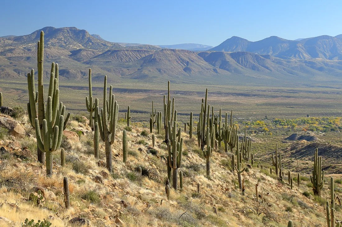
A grove of saguaros in Tonto Basin.
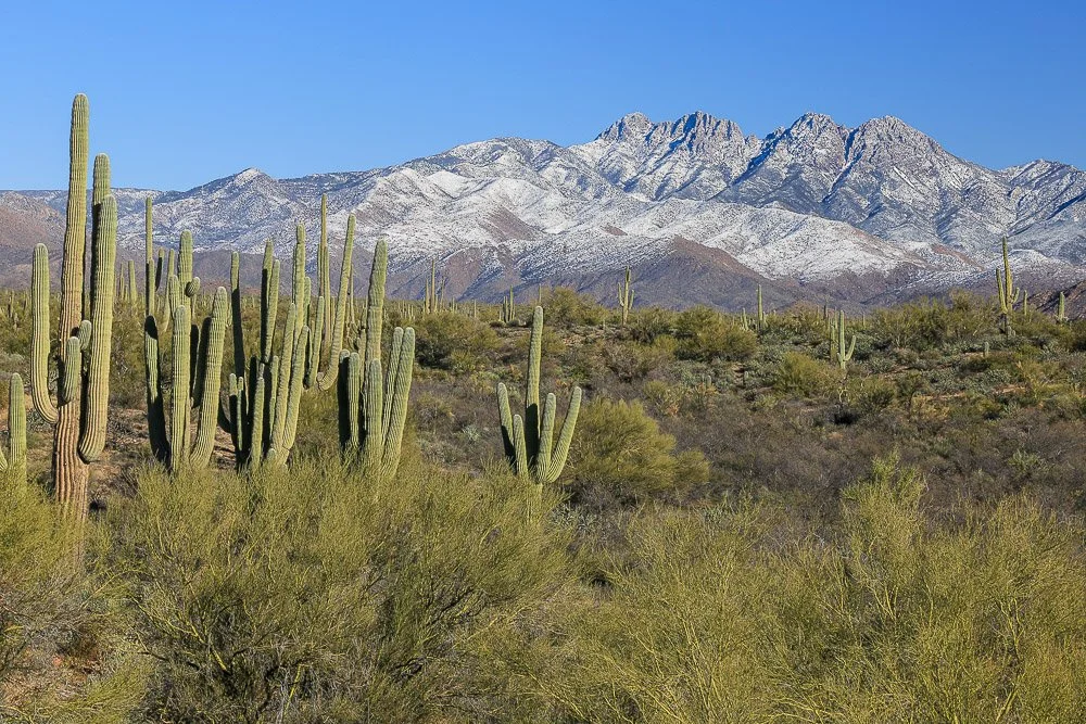
Saguaros and palo verde trees in front of snow-covered Four Peaks.
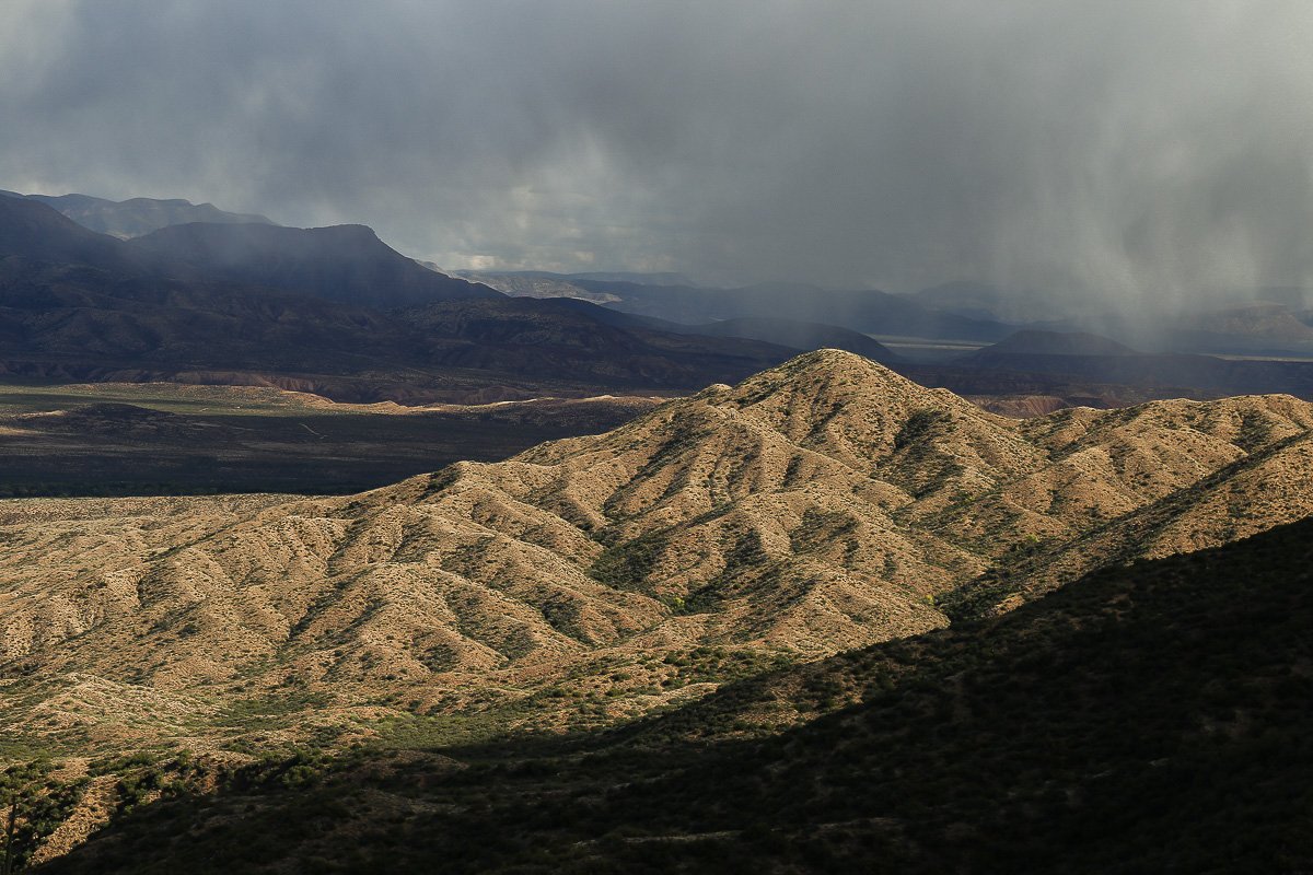
Deeply eroded granite hills in Tonto Basin illuminated between dark shadows and storm clouds.
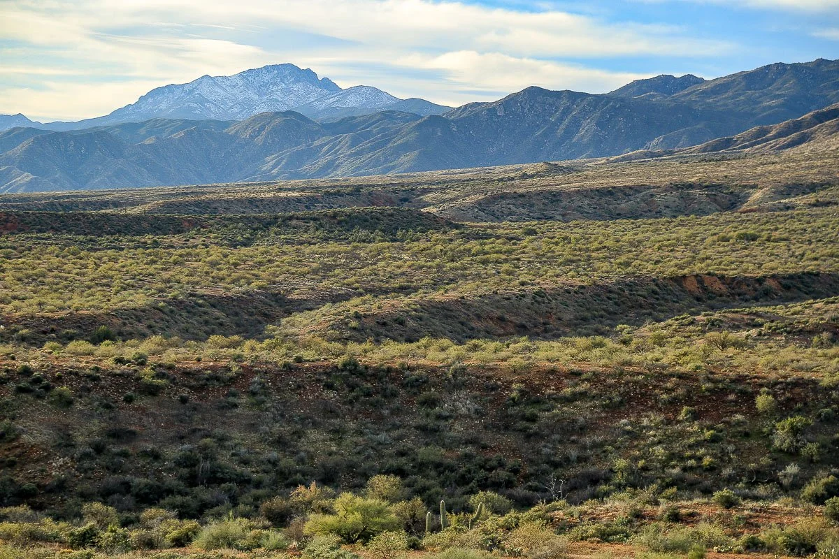
Ancient gullies and terraces near Punkin Center.
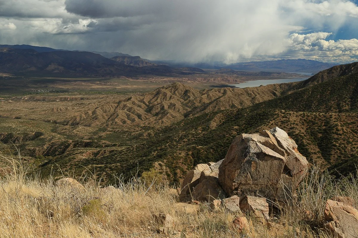
Angular boulders and dry grass await an Autumn storm in the southern Mazatzal Mountains near Sycamore Creek, close-up.
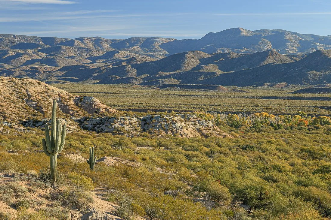
Mountains and shadows forms a backdrop to green desert in Tonto Basin.
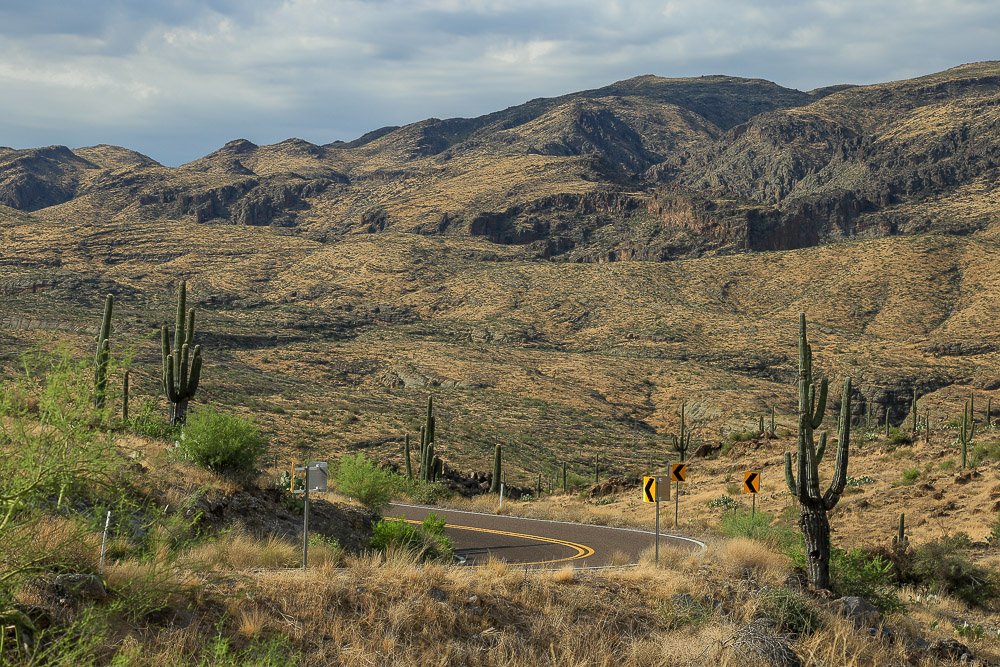
Saguaros and barren volcanic mountains along the Apache Trail.
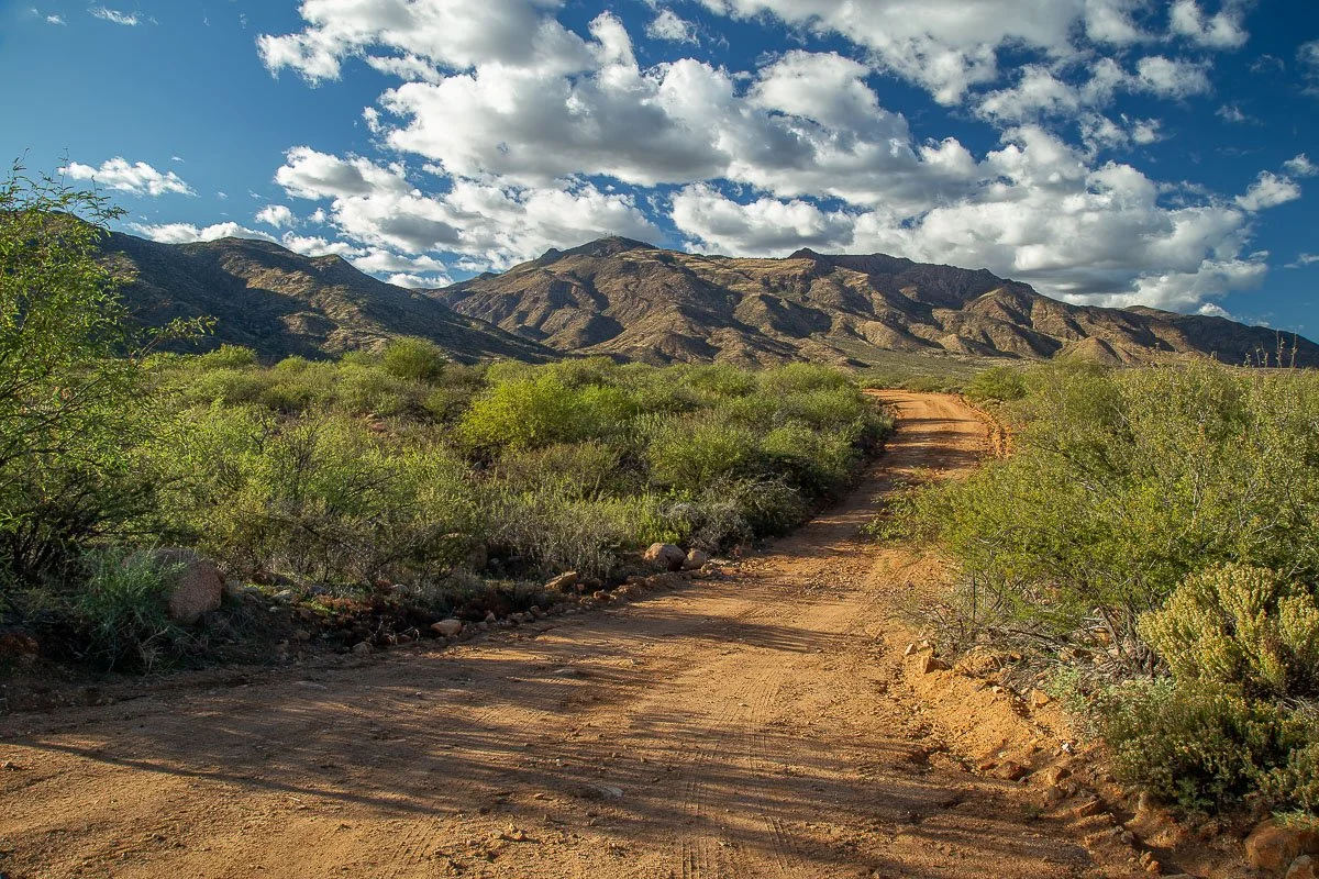
The road to Fort Reno below Mount Ord.
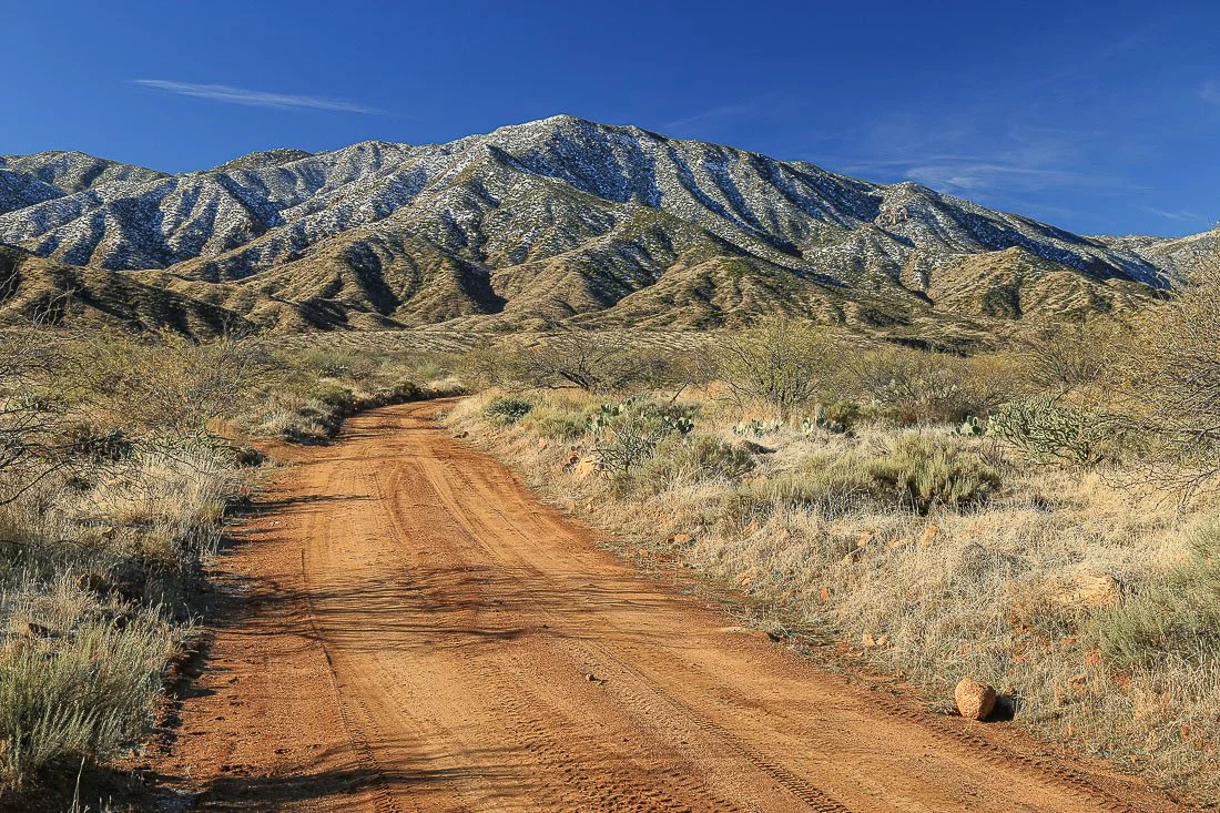
The Denton Road to Sycamore Trailhead.
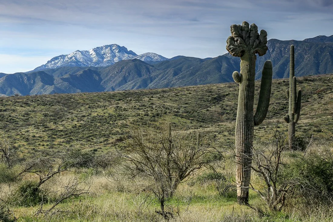
A crested saguaro north of snow-capped Four Peaks.
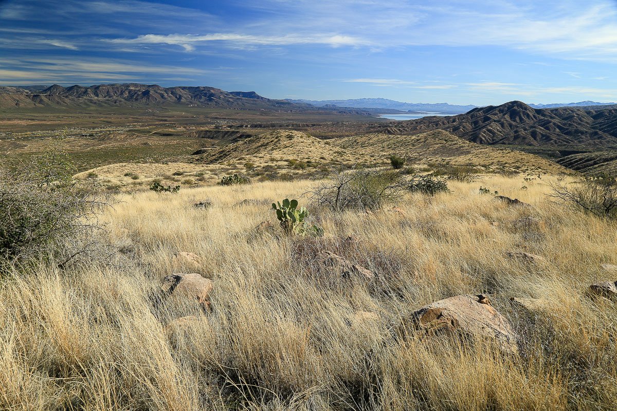
Desert grasslands on the west side of Tonto Basin.
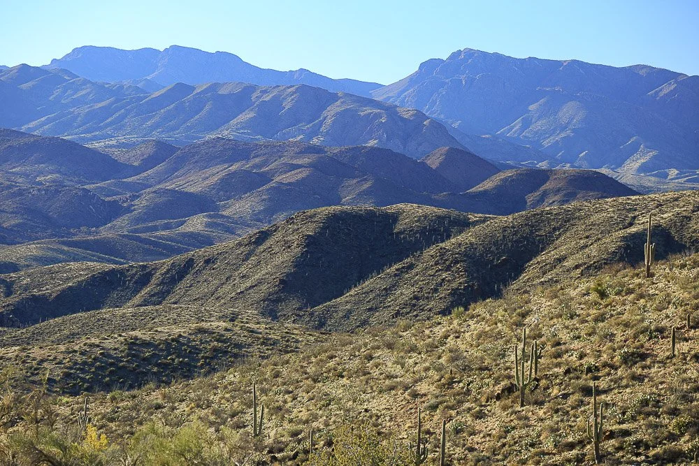
Rows of purple ridges in the Mazatzal Mountains near Jakes Corner.
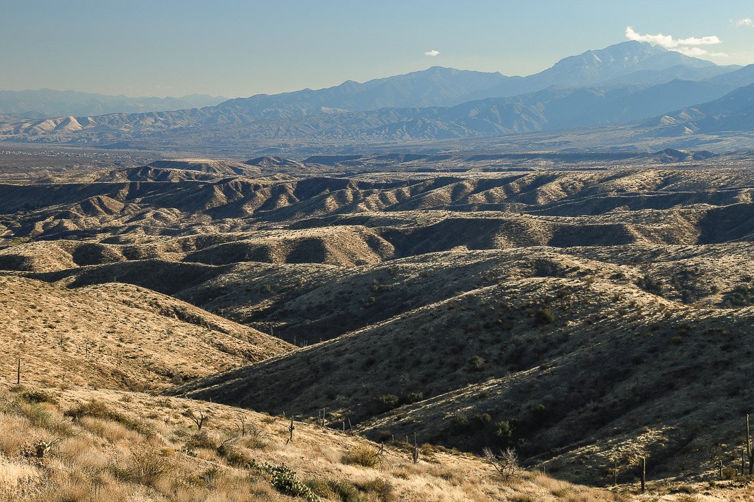
The gullied landscape in the northern Tonto Basin.
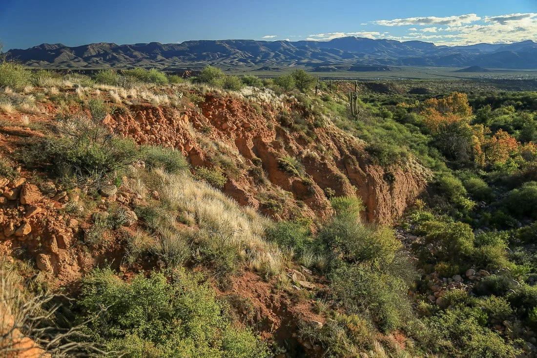
Colorful desert tapestry near Punkin Center.
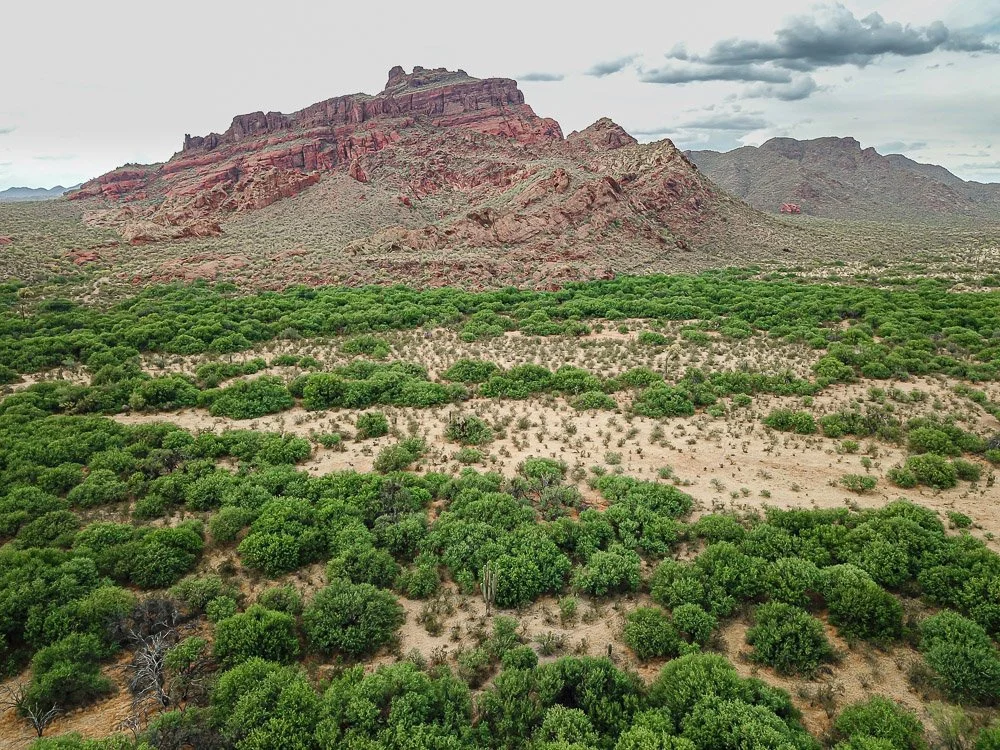
Green bosque along the Salt River near Mount McDowell.
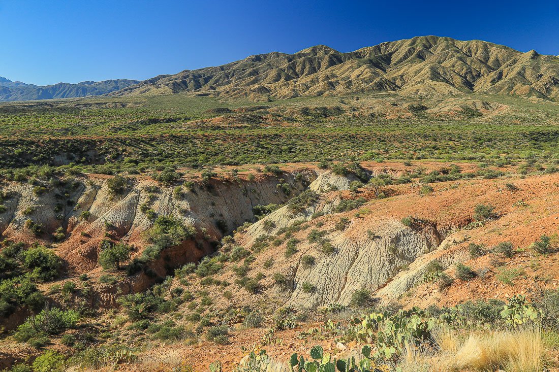
Painted hills of gypsum and clay near Punkin Center.
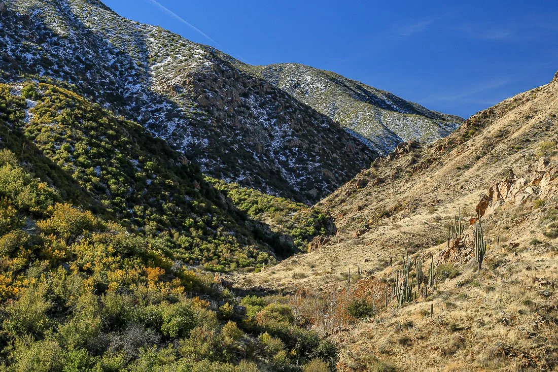
Sun and shade in Sycamore Canyon.
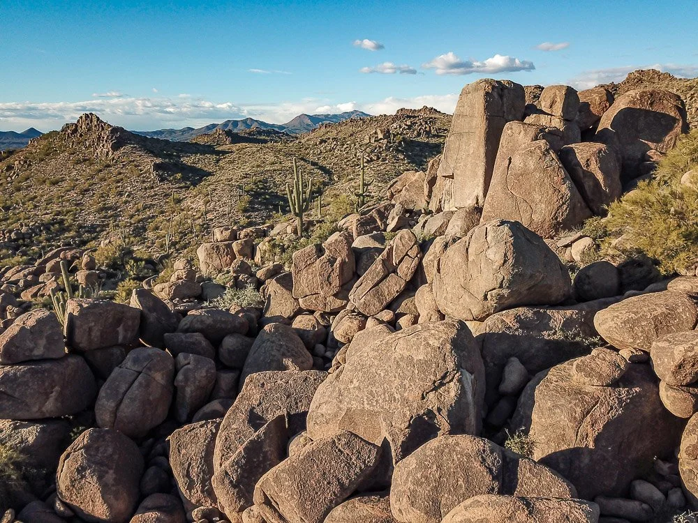
A city of large granite boulders west of Four Peaks.
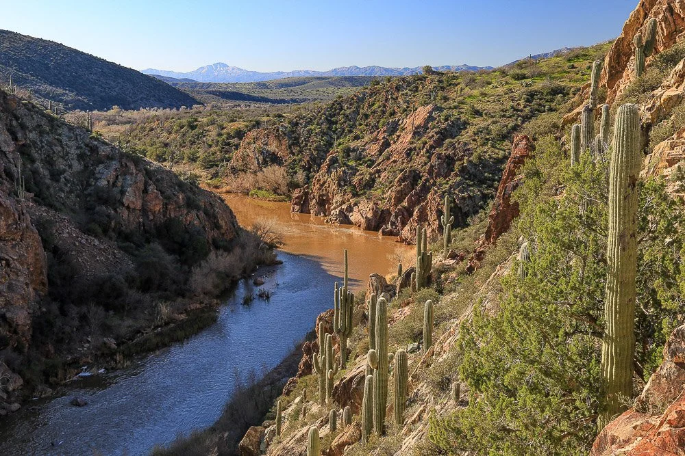
Tonto Creek slices through a gorge south of Gisela.
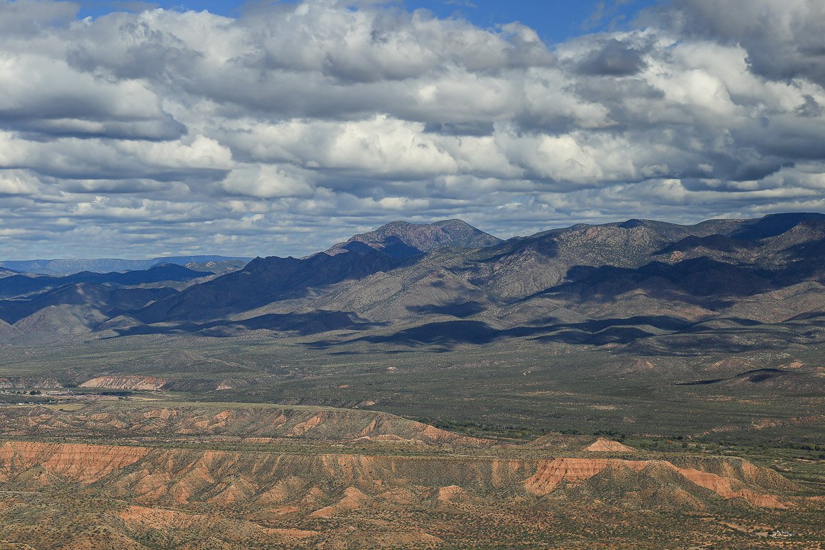
Puffy clouds above red hills in Tonto Basin.
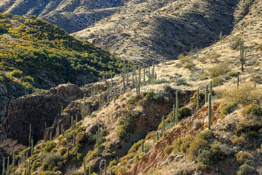
Saguaros cling to rocky slopes in Sycamore Canyon.
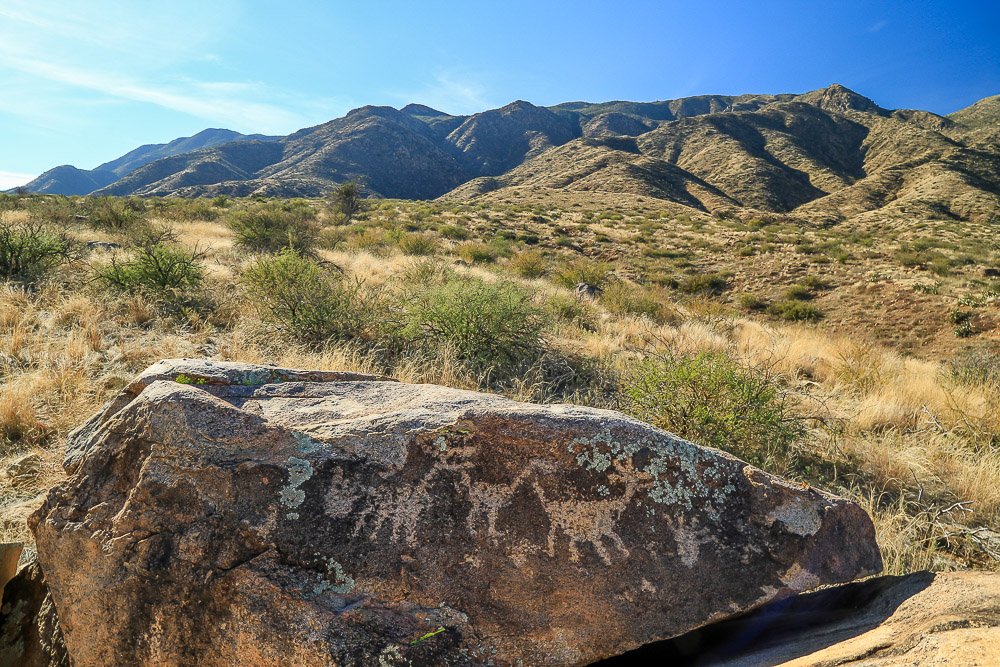
Rugged mountains rise behind a large boulder covered with petroglyphs.