
Water
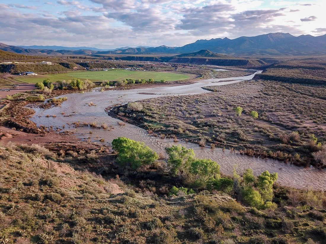
Arizona contains more than 90,000 miles of streams (many are dry most of the time). However, many of them are young newcomers to the scene. The state’s largest rivers—the Colorado, Gila, Salt, Verde, San Pedro, and Santa Cruz rivers—are all less than ~5 million years old. Before then, they didn’t exist, and smaller local streams flowed into closed basins that eventually filled and spilled over until they connected with the Sea of Cortez. These rivers now flow through some of the driest deserts in North America, creating corridors of life. This collection shows just a few of these life-giving streams.
CLICK ON ANY IMAGE TO VIEW SIZES, PRICES, AND BUY
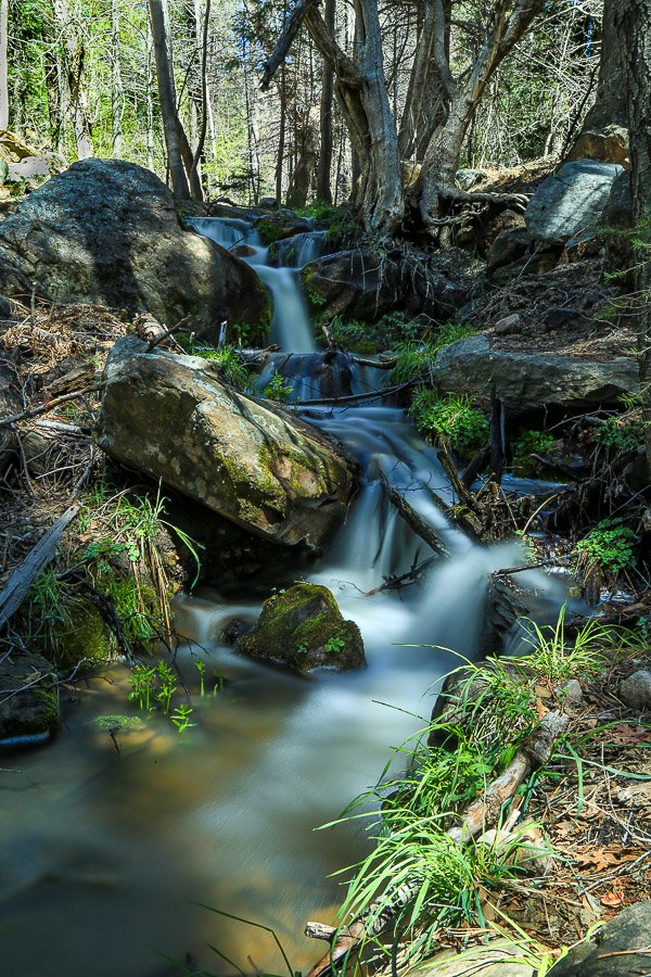
Small waterfalls along the headwaters of the East Verde River.
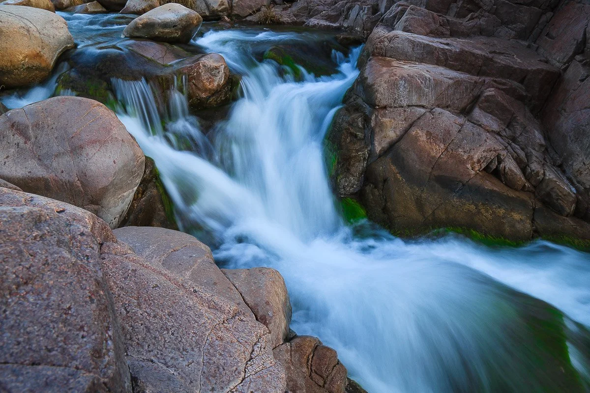
Turbulent waterfall in Tonto Creek at Hells Gate.
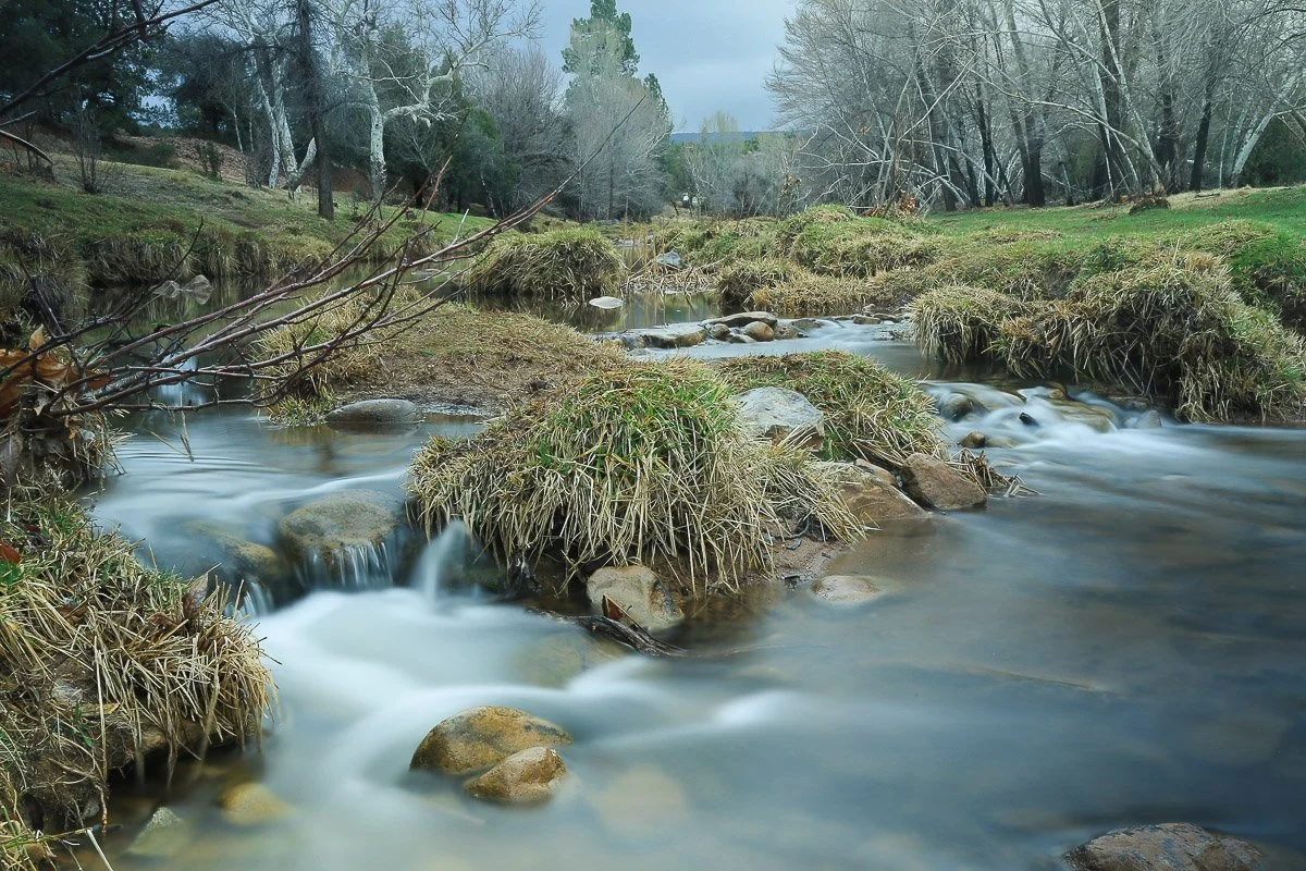
Small cascades along the East Verde River in the winter gloom.
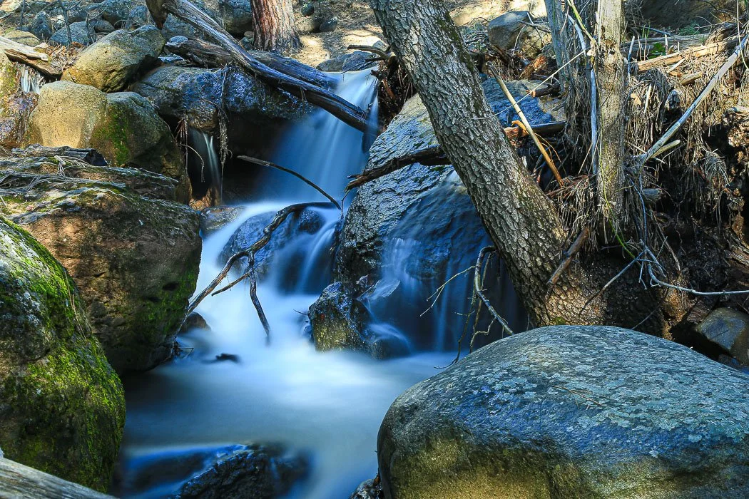
Waterfalls and boulders along Weber Creek.
Tonto Creek flows through the desert in Tonto Basin.
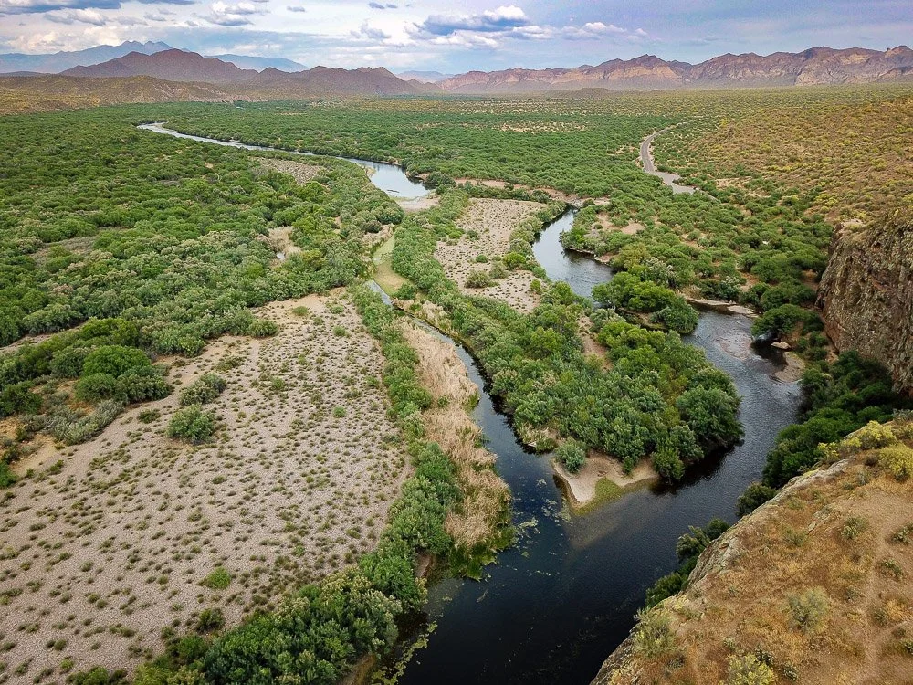
The Salt River at Coon Bluff.
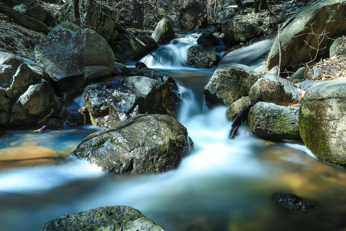
Weber Creek cascading into pools of water.
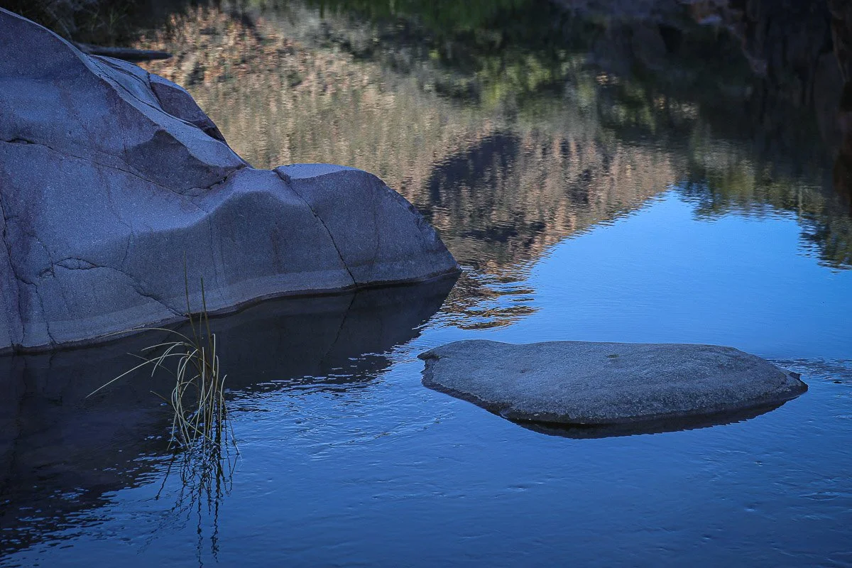
Reflections in Tonto Creek near Hells Gate.
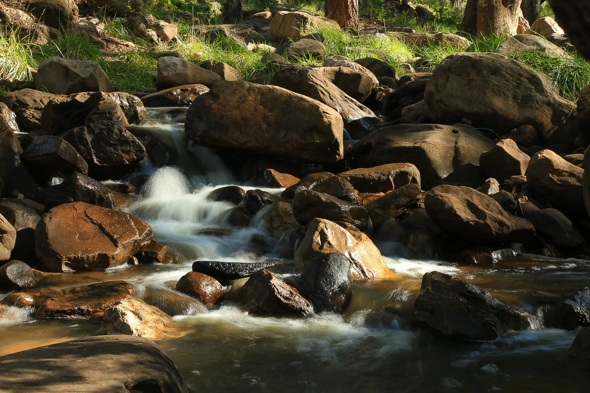
Cascading creek near Whispering Pines.
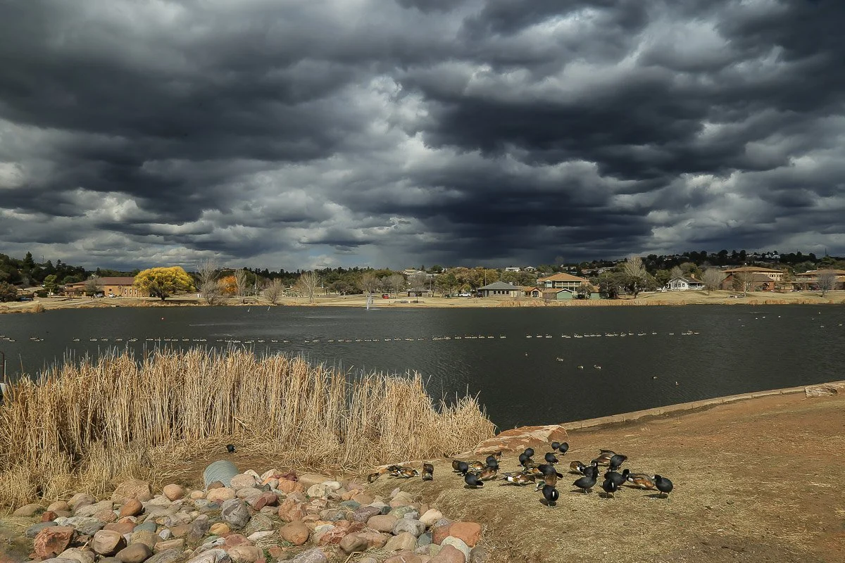
Dark winter clouds over Green Valley Lakes in Payson.
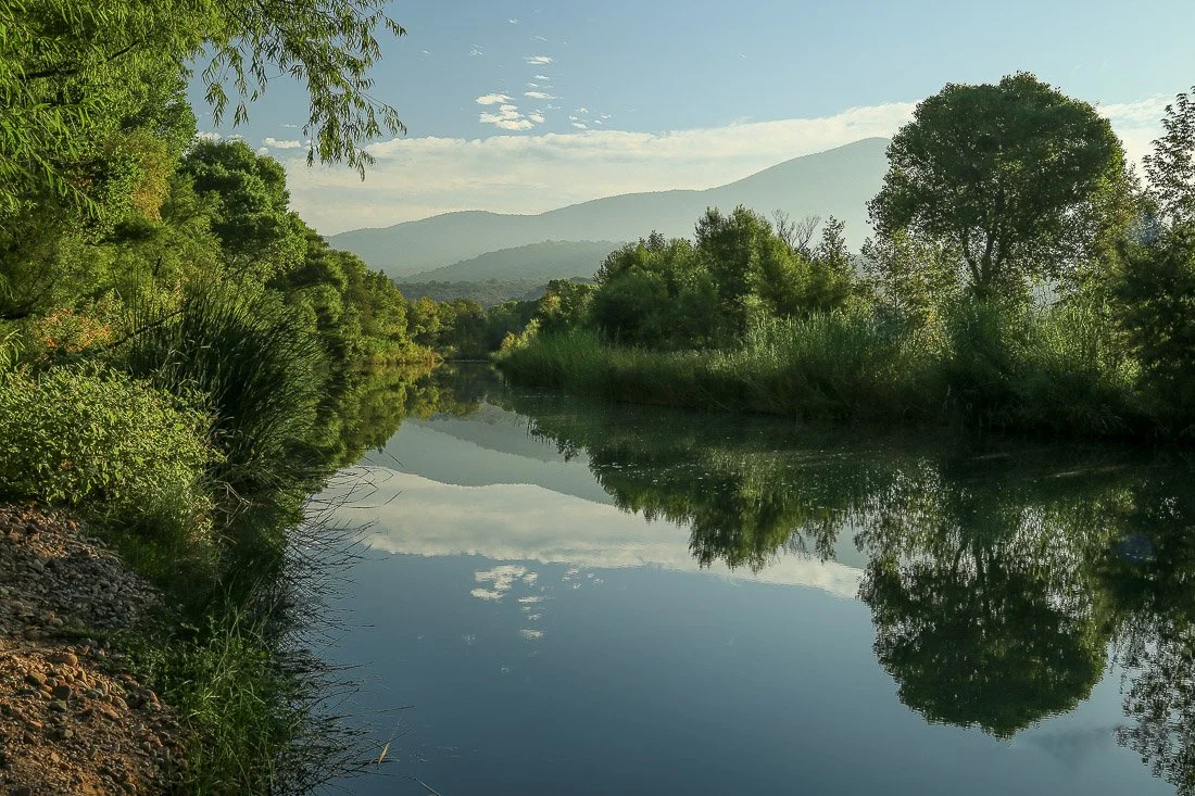
Reflections in Tonto Creek near Gisela.
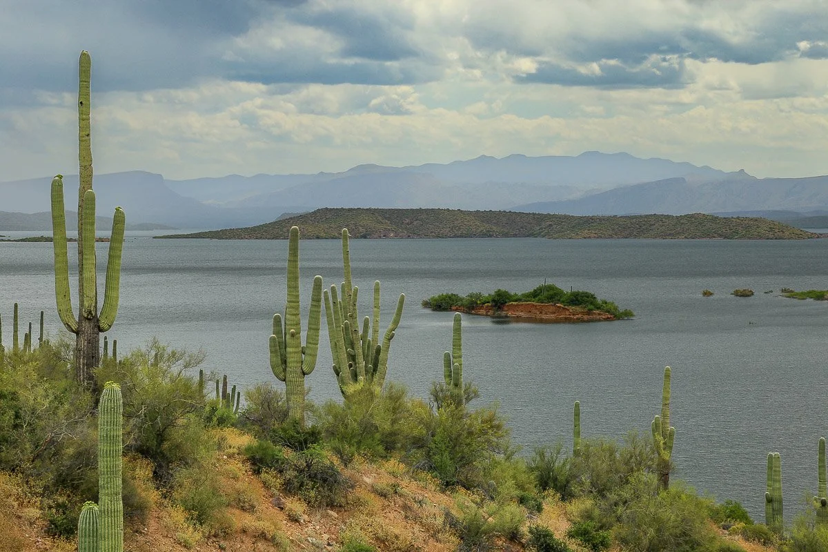
Tall saguaros frame the vast Roosevelt Lake.
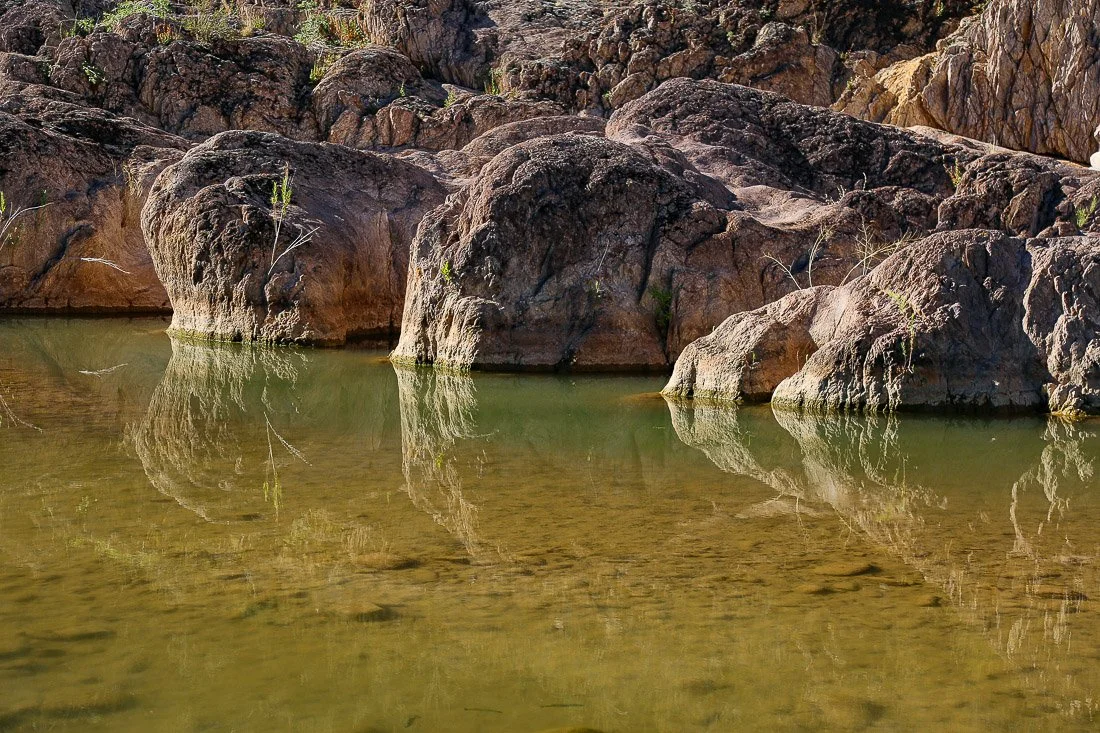
Mirrored reflections of bedrock in Tonto Creek.