
Aerial Images
In the modern age we tend to take for granted our ability to fly through the air. I am still in awe when I look up at a commercial jet and know that there goes 100 people flying above the clouds. That aerial vantage gives us such a different perspective. The images here were captured with a small foldable drone that fits in my backpack. For the last six years it has been an indispensable tool for me, able to reach utterly inaccessible peaks and canyons. The geniuses that create these machines allow for an aerial camera to be placed almost anywhere. Even raising the camera 20 feet off the ground to the top of a saguaro creates a whole new perspective.
CLICK ON ANY IMAGE TO VIEW SIZES, PRICES, AND BUY
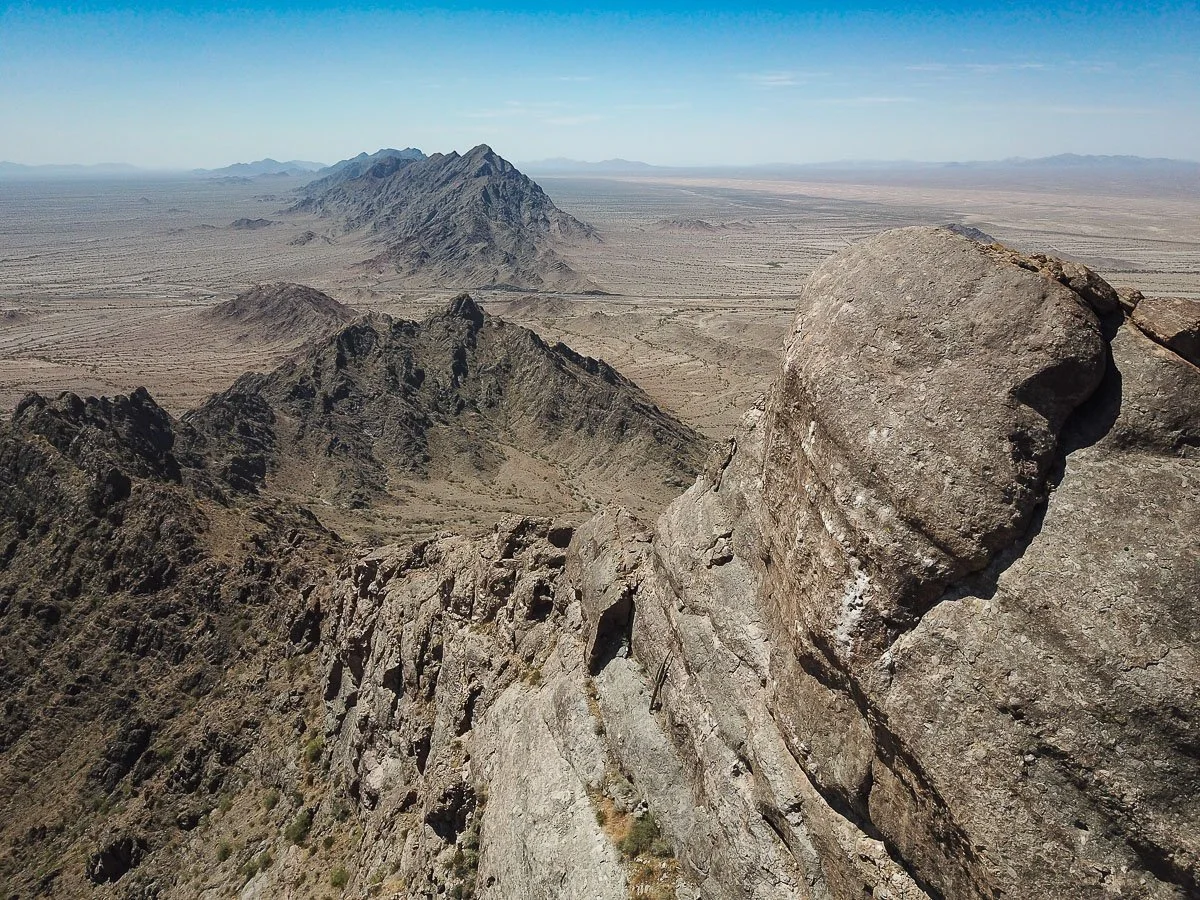
Believe it or not, the landscape below is all Granite(!) that has been deeply eroded by eons of rainfall.
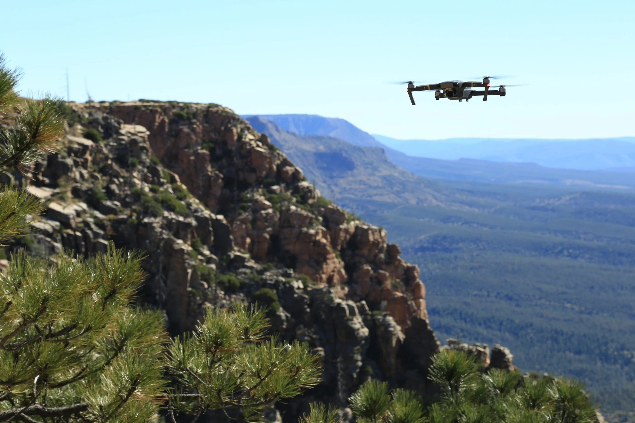
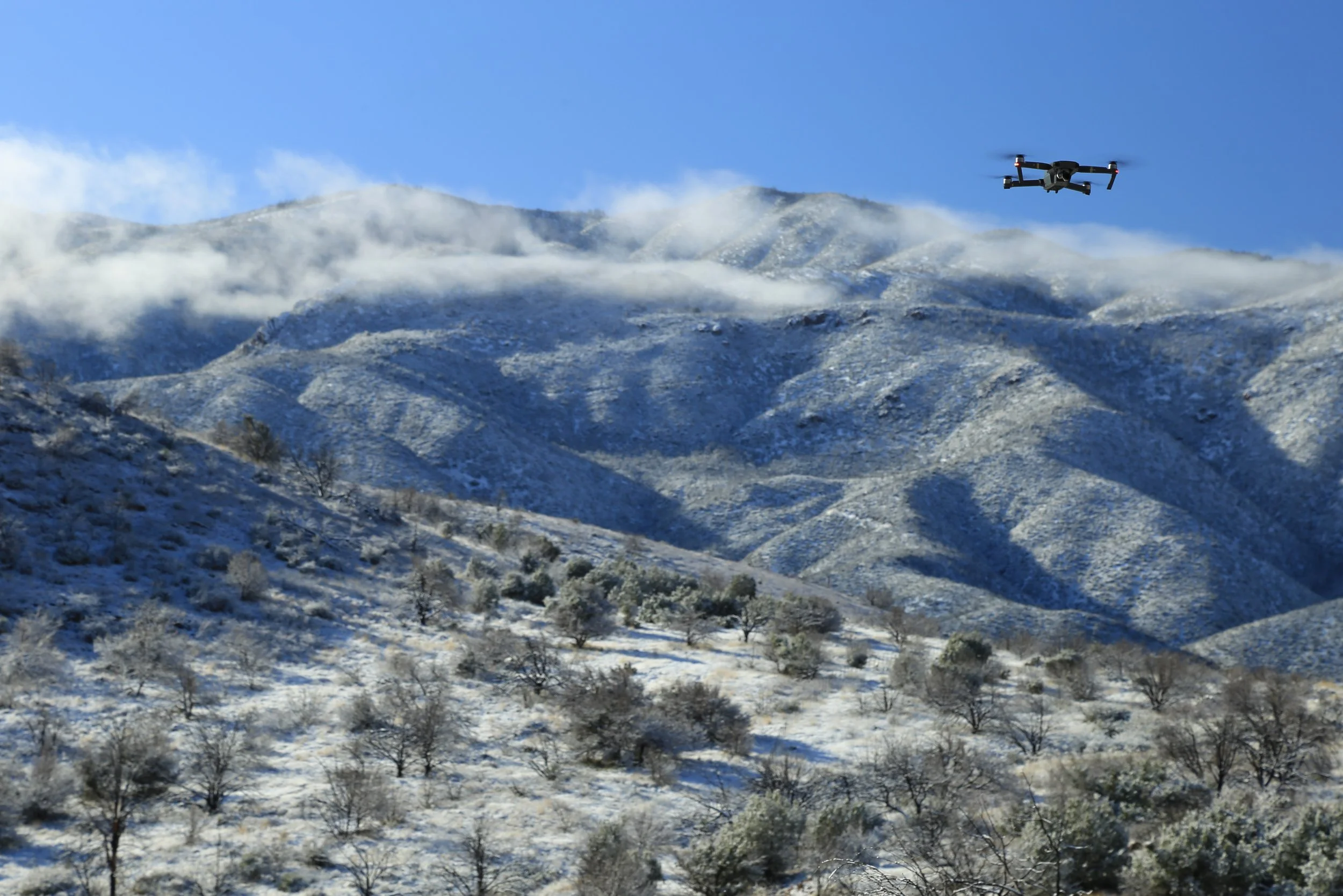
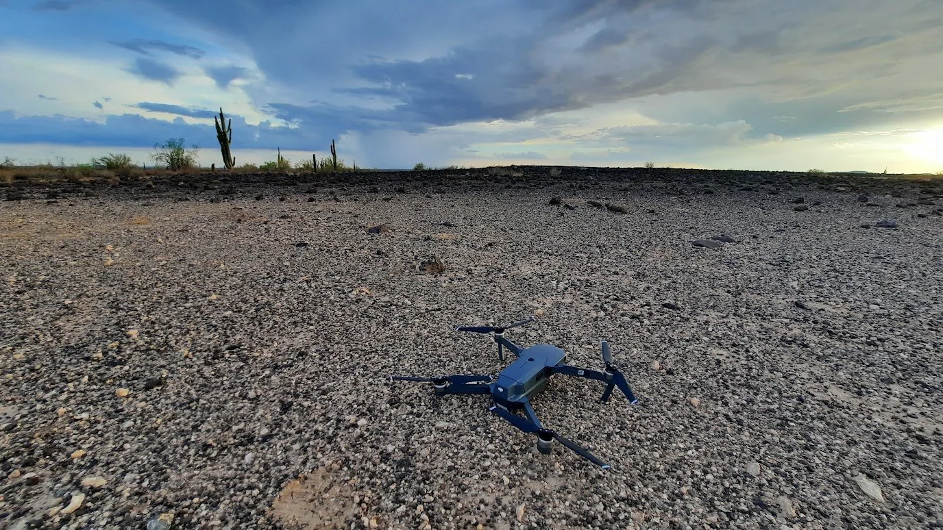
These are photos of my DJI Mavic Pro drone in action.
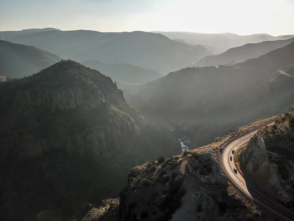
Afternoon haze gives an ethereal feel to the depths of Salt River Canyon.
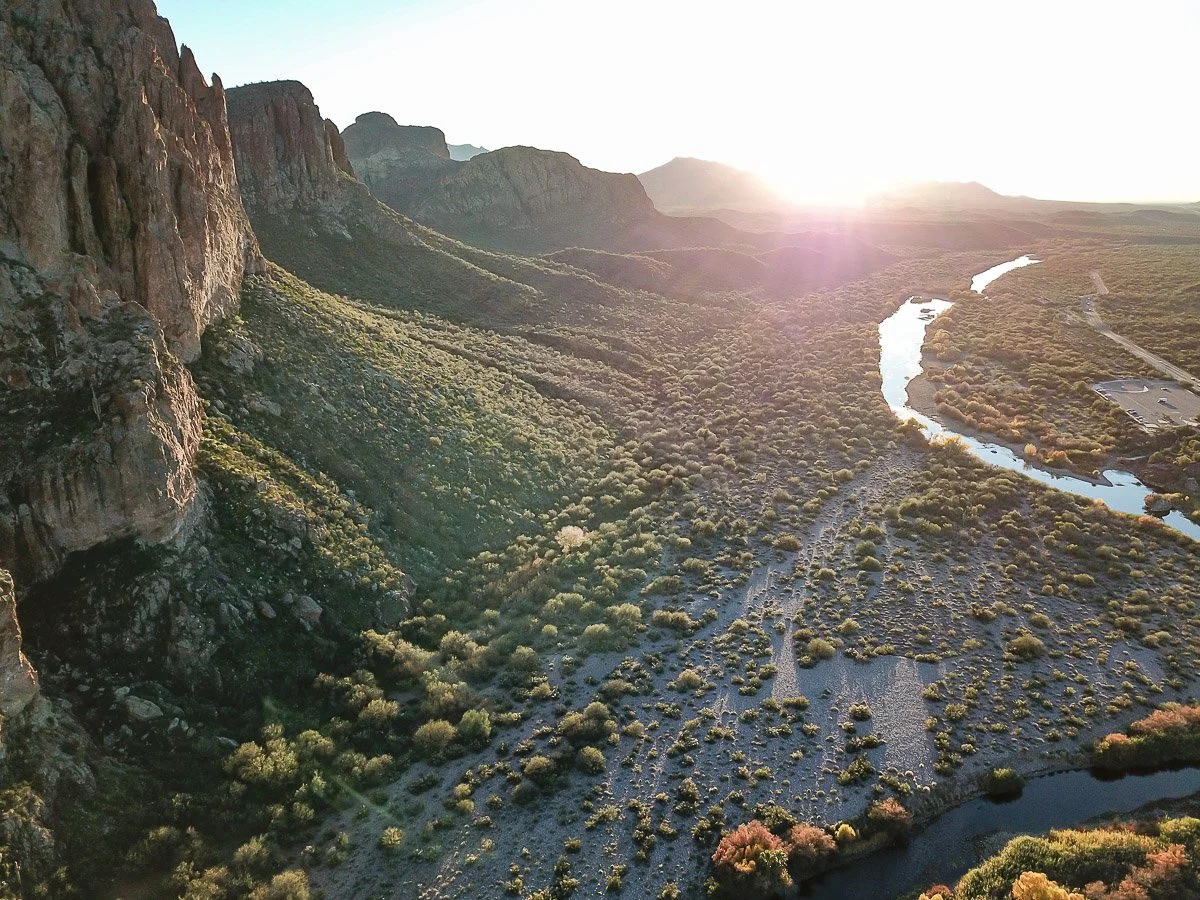
Sunset paints the cliffs of the Goldfield Mountains along the Lower Salt River.
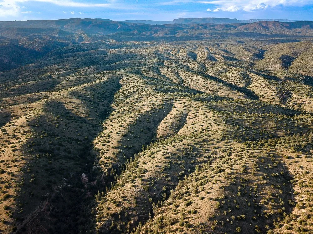
An ancient river delta west of Payson eroded into ravines and rolling hills.
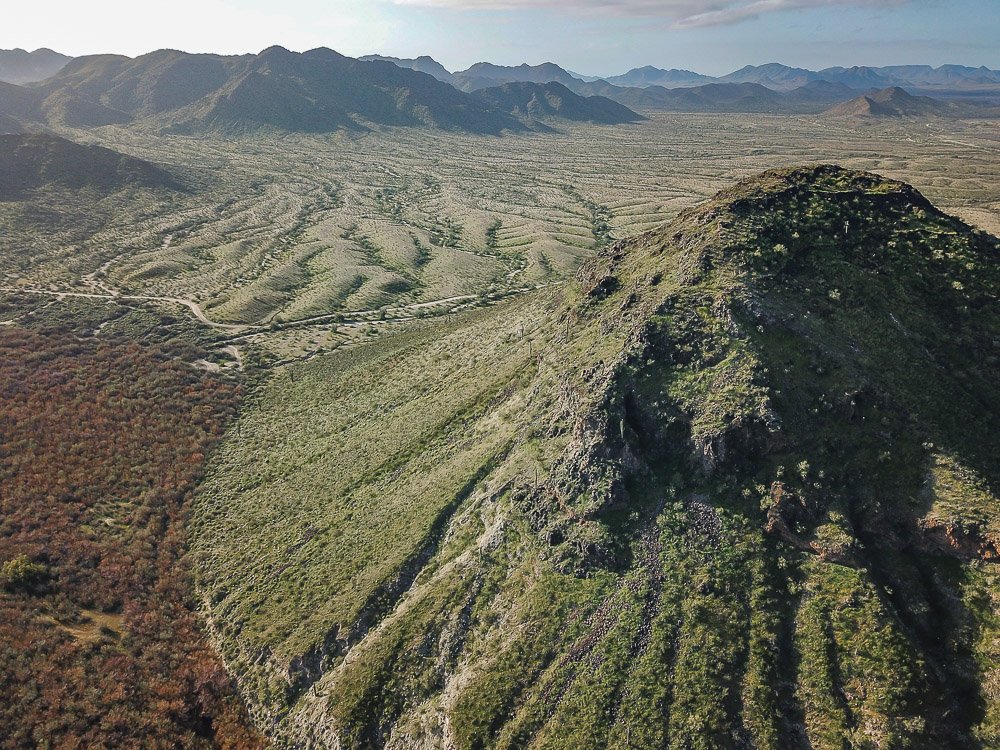
The volcanic peak of Power's Butte in the Power's Butte Wildlife Refuge north of Gila Bend.
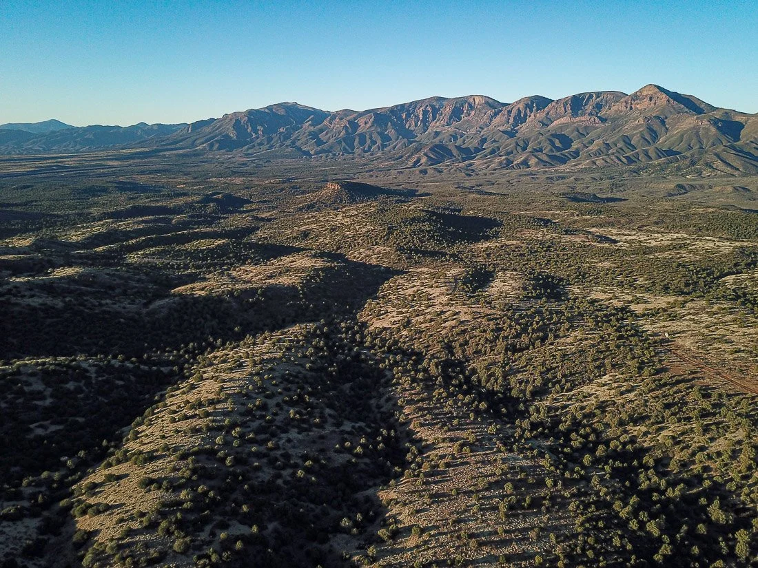
The Mazatzal Mountains loom over the Payson Basin.
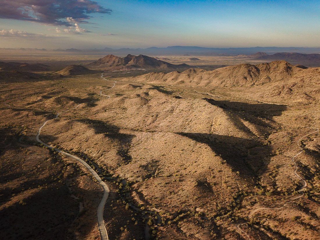
Sunrise in the desolate granite hills of the Little Harquahala Mountains of western Arizona.
The spine of the Mohawk Mountains near Yuma rises out of the landscape like the backbone of some prehistoric beast.
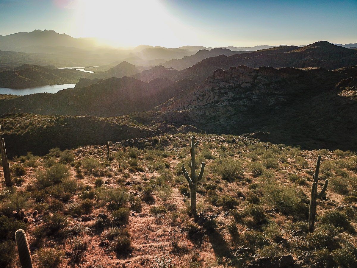
Sunrise over Four Peaks and the Goldfield Mountains.
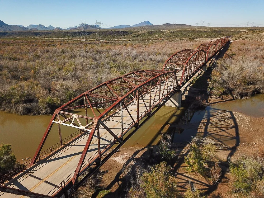
Completed in 1927, the Gillespie Dam Bridge north of Gila Bend was once part of the transcontinental highway connecting San Diego and Georgia.
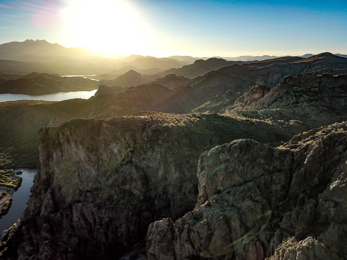
Sunrise over the jumbled volcanic rocks of the Goldfield Mountains near Saguaro Lake.
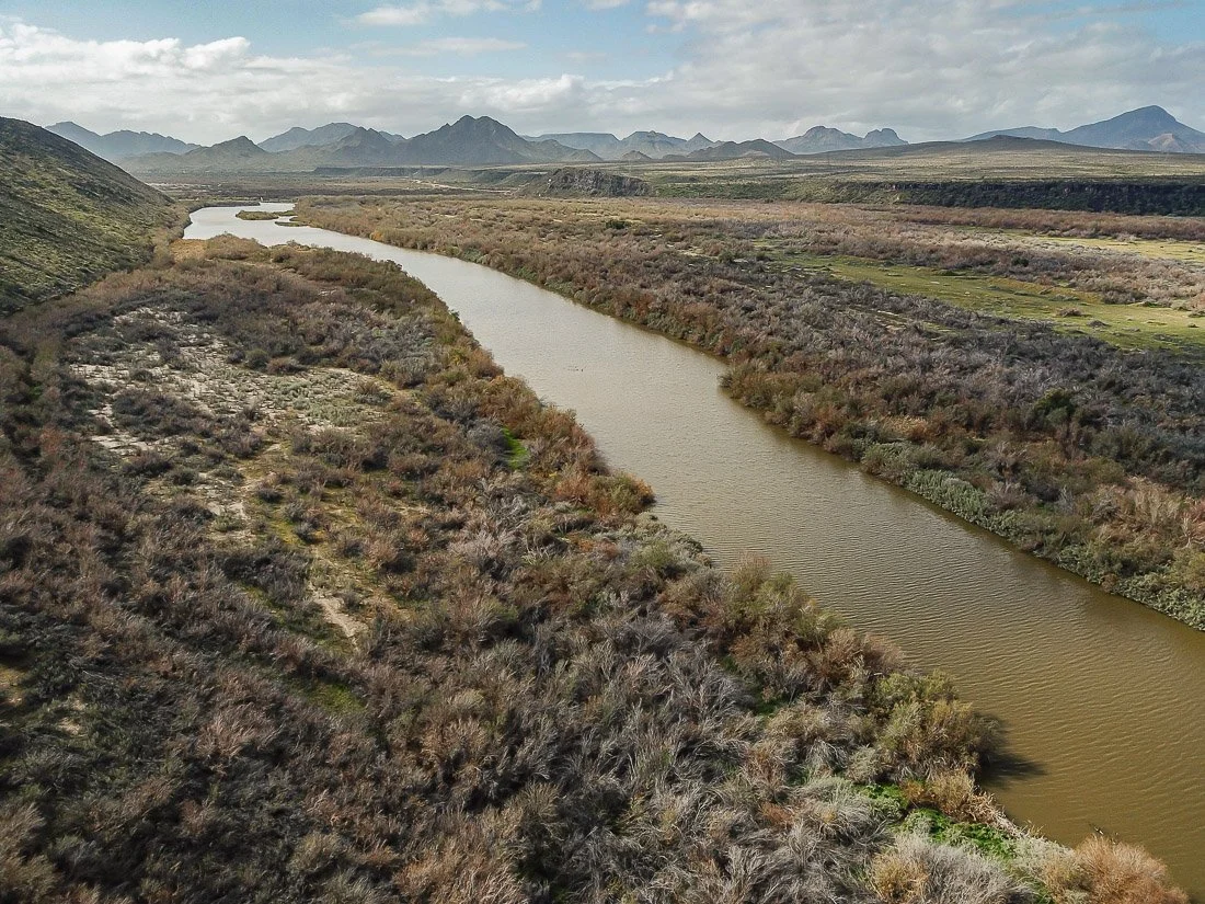
The Gila River slices through the Gillespie shield volcano north of Gila Bend.
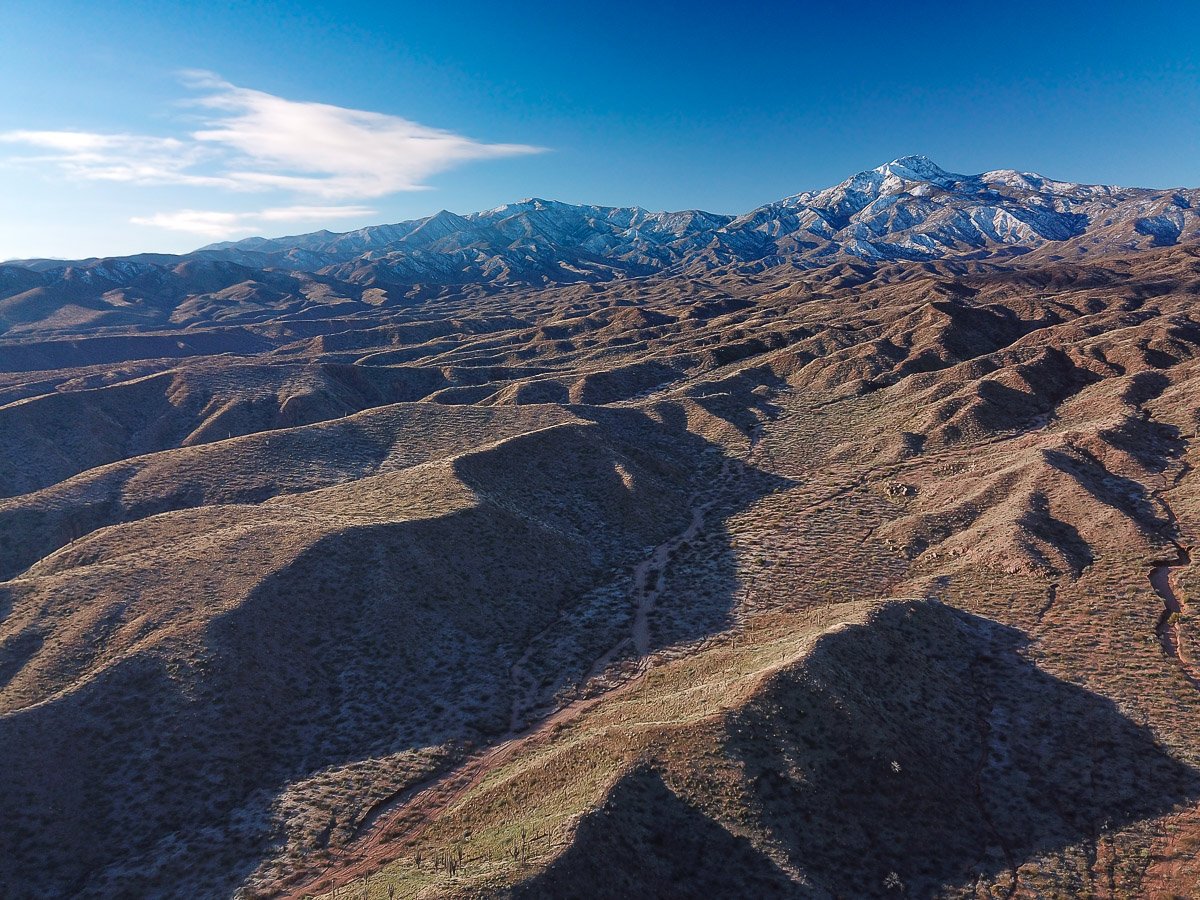
The crisp winter air fills the eroded landscape on the east side of Four Peaks.
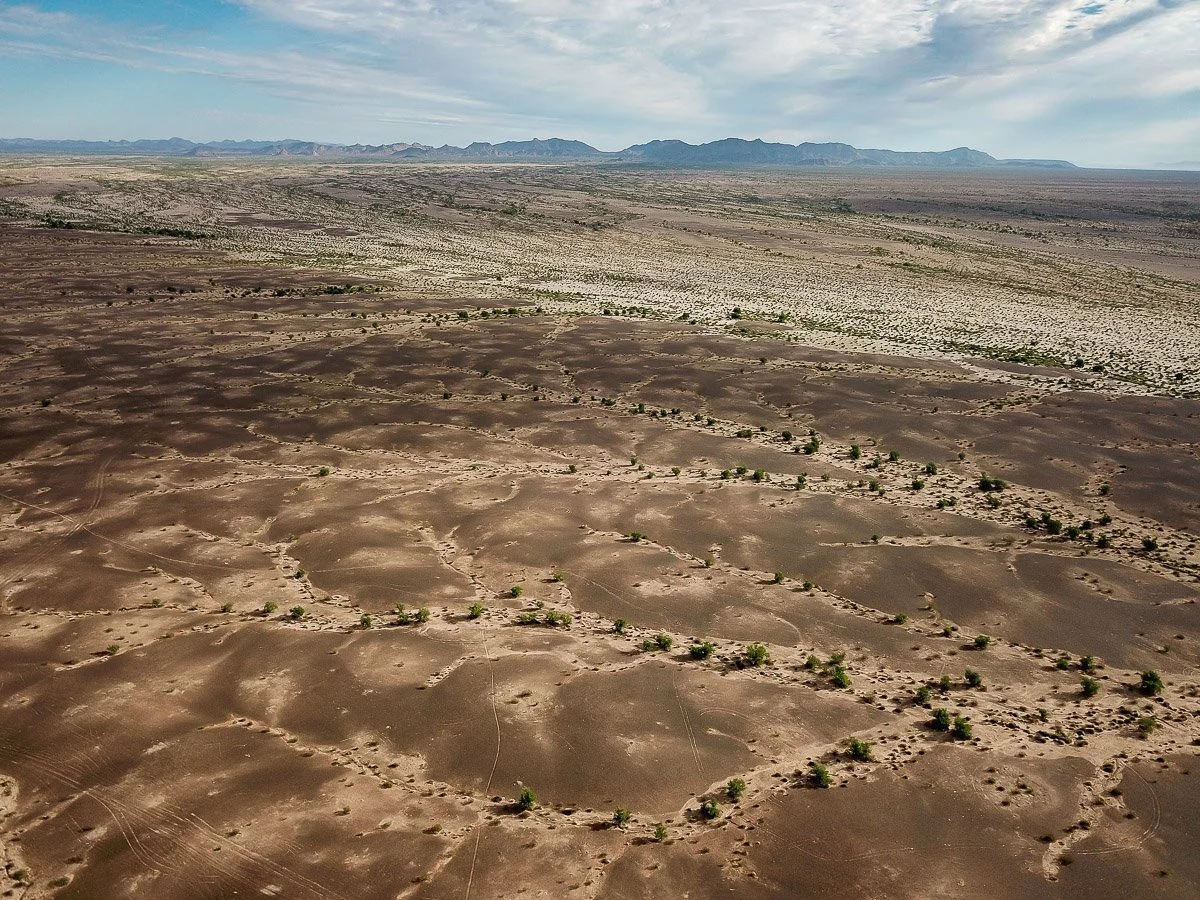
Ancient Gila River gravels left high and dry near the Palomas Mountains were transformed into dark desert varnish by desert microbes.
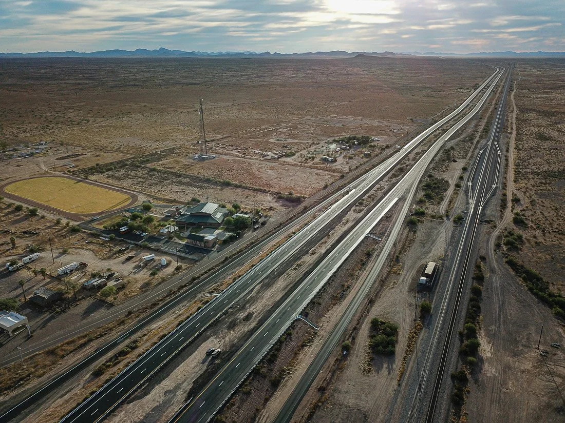
The lonely junction of Sentinel, west of Gila Bend
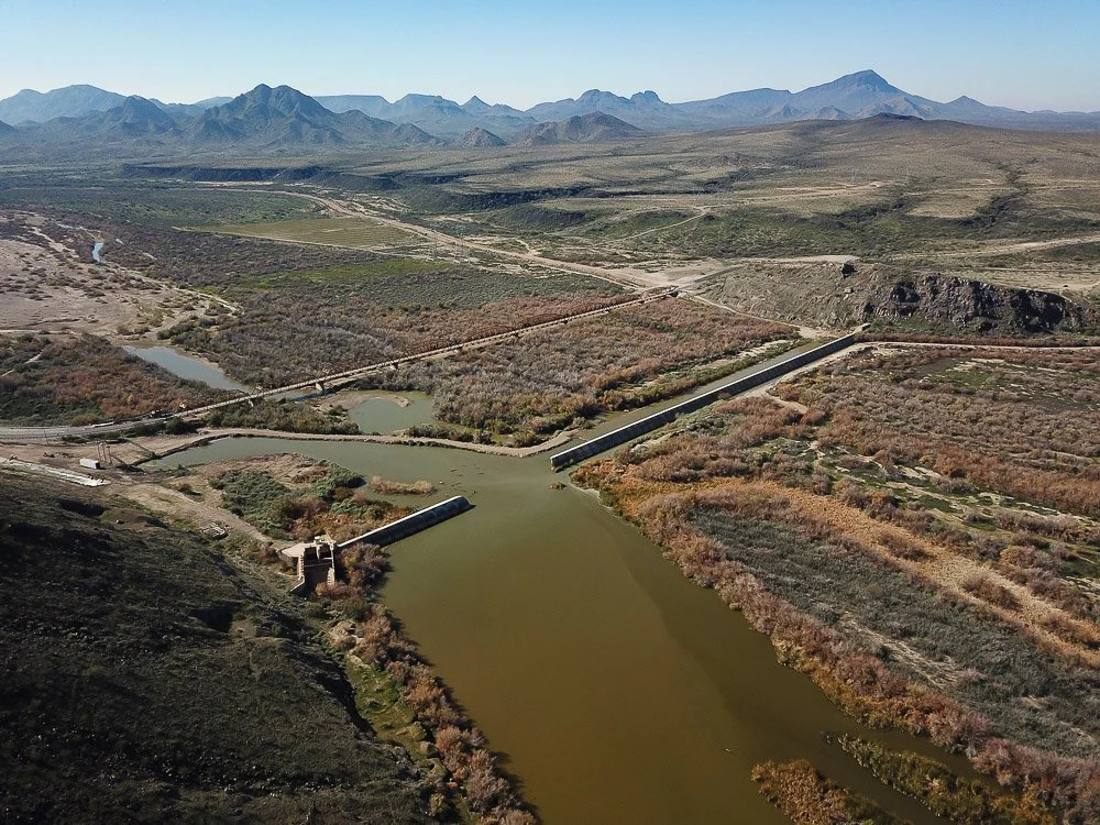
Built around 1920, the Gillespie Dam north of Gila Bend was destroyed by historic floods along the Gila River in 1993.
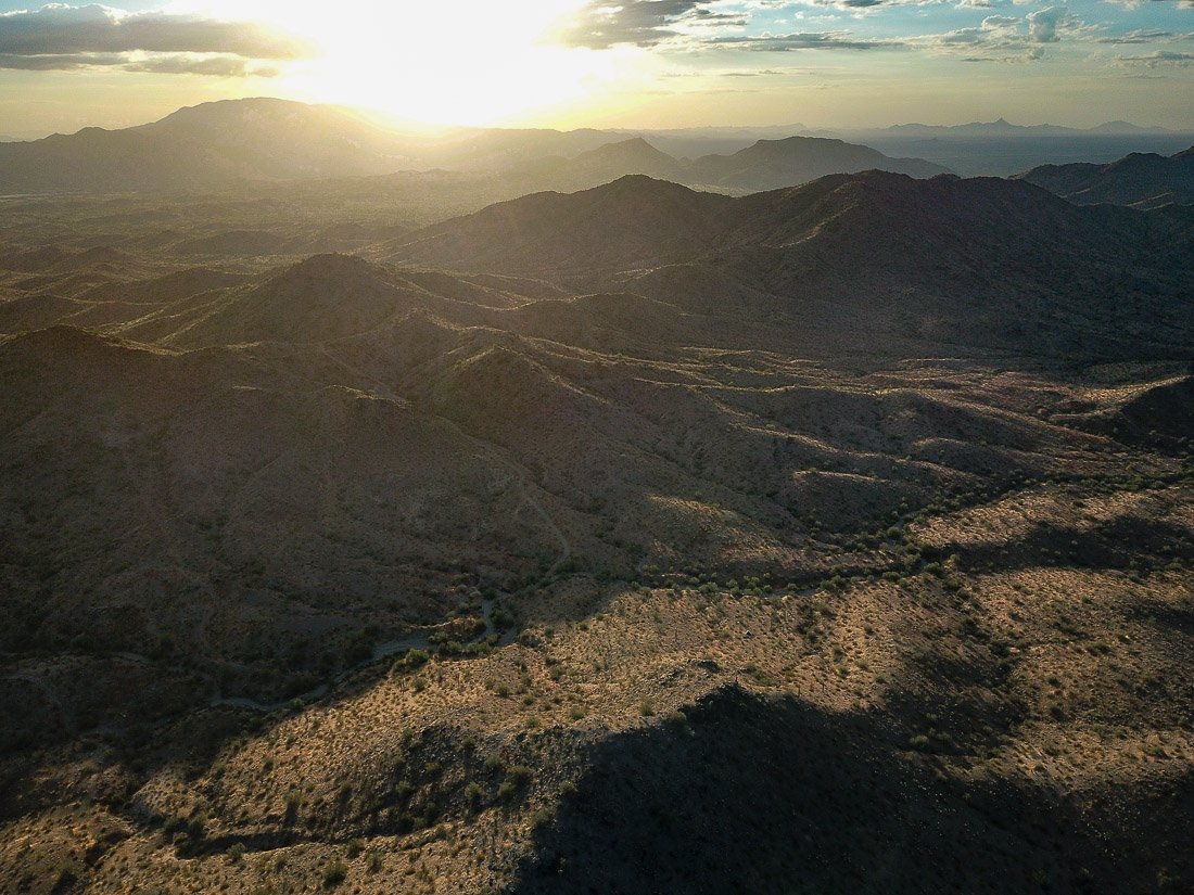
Sunrise in the Little Harquahala Mountains.
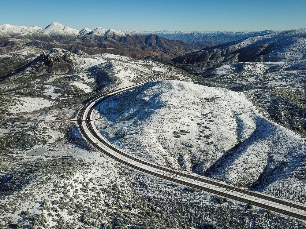
Snow on Slate Creek Divide, the highest point between Phoenix and Payson along State Route 87.
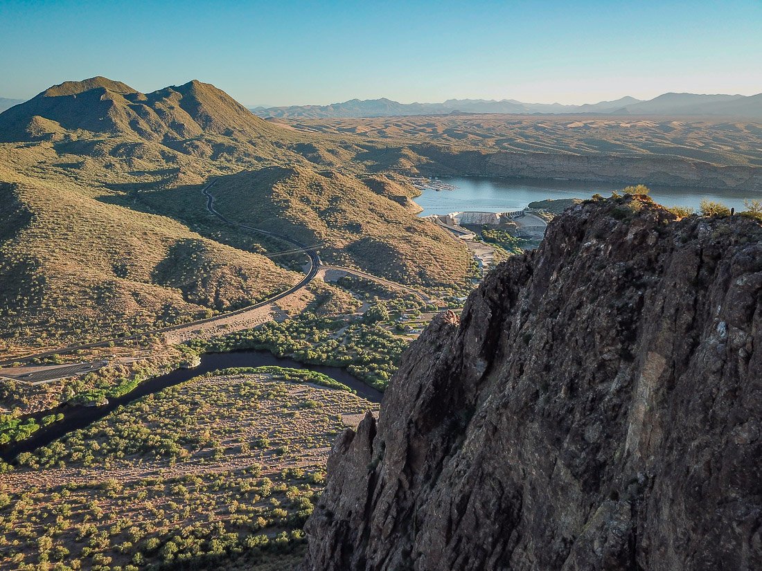
Stewart Mountain and Saguaro Lake
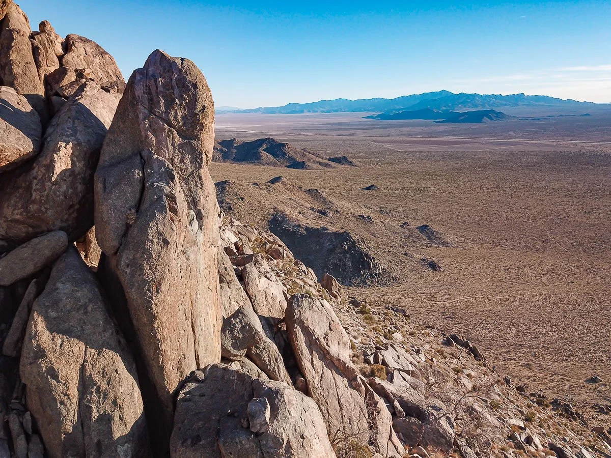
Giant vertical boulder overlooks Mojave Desert
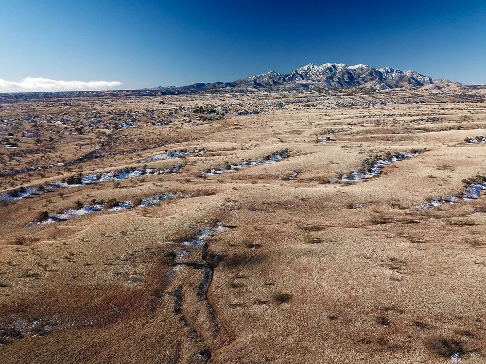
Grassy plain near the Santa Rita Mountains.
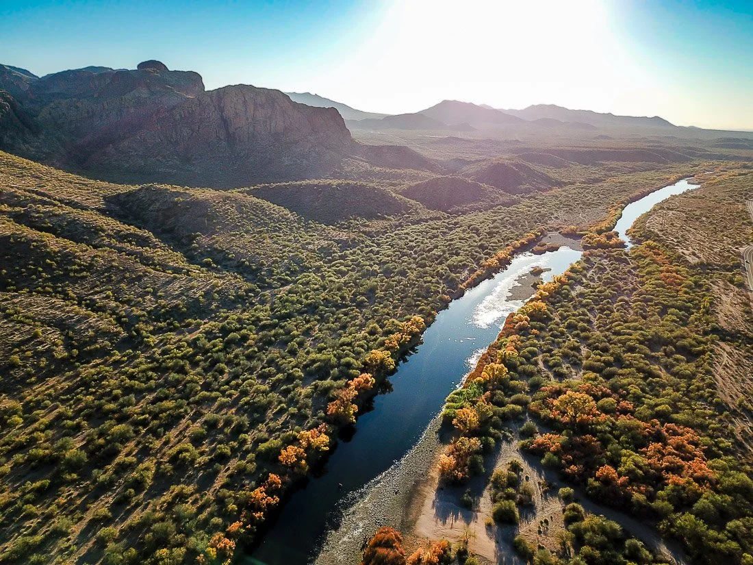
Late Afternoon over the Lower Salt River.
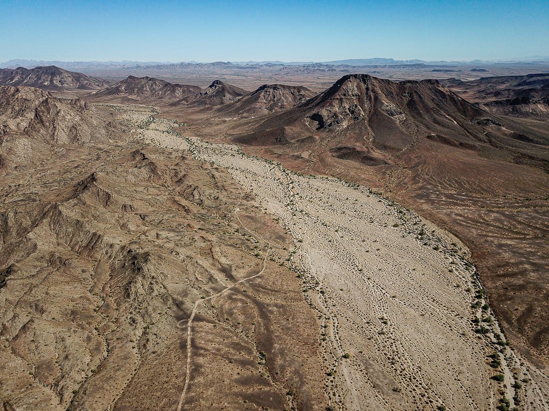
A wide unnamed wash slices through the charred volcanic landscape of the Palomas Mountains in southwestern Arizona.