
Panoramas
This collection is a work in progress. Panoramas often do a better job at capturing the grandeur of landscapes, but can be difficult to faithfully capture because the lighting conditions can change dramatically from one side of the landscape to the other. All of these panoramas were captured using my drone. The great fun of capturing panorama images this way is the ability to place the camera almost anywhere in the sky and capture a sweeping landscape from a perspective that has never been possible with human eyes.
CLICK ON ANY IMAGE TO VIEW SIZES, PRICES, AND BUY
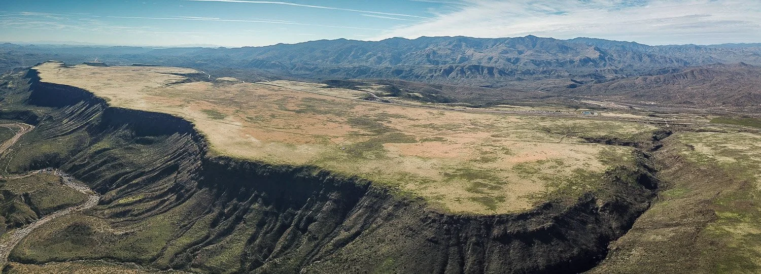
The Sunset Point rest area on the busy Interstate 17 highway between Phoenix and Flagstaff rests on the edge of a basalt plateau, in the shadow of the Bradshaw Mountains to the west.

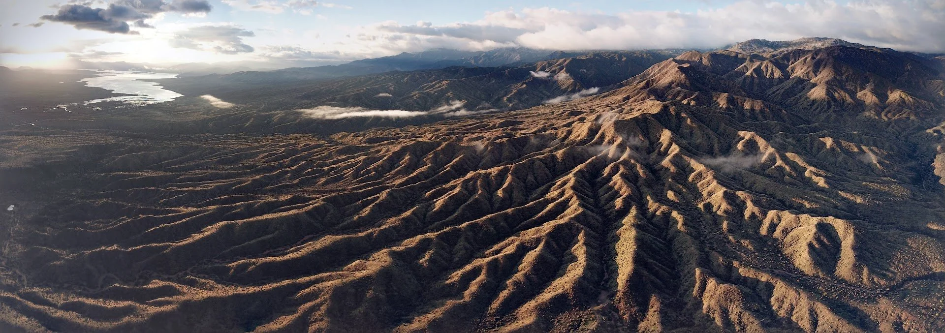
The Lower Salt River leaves Saguaro Lake and flows through the desert between Stewart Mountain and the Goldfield Mountains, east of Phoenix.
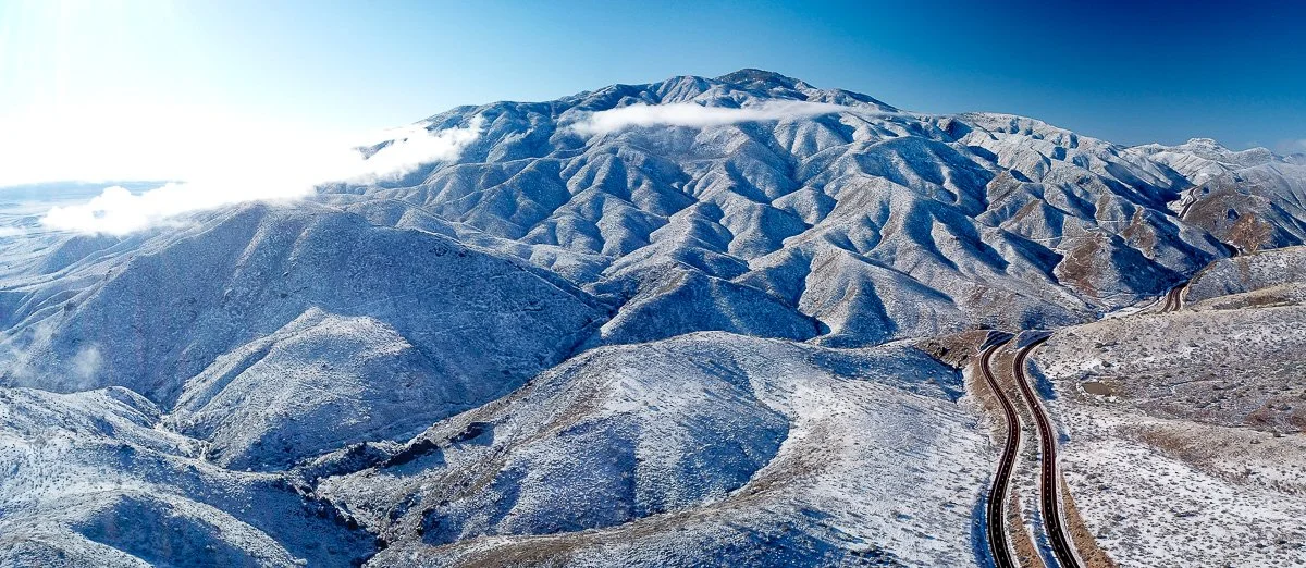
The rugged north slope of Mount Ord, rising to 7,128 feet (2,173 meters), is dusted in snow the morning after a chilly winter storm visited the desert.
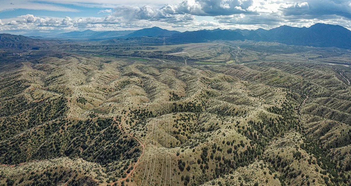
A large, ancient alluvial fan south of Payson is dissected by numerous deep gullies and dotted with pinon-juniper.

The Arizona Snowbowl ski resort near Flagstaff.

The Sentinel volcanic field in hyper-arid southwestern Arizona is some of Arizona's youngest volcanic rocks. Silt and sand blown by dry desert winds have mantled much of the landscape.
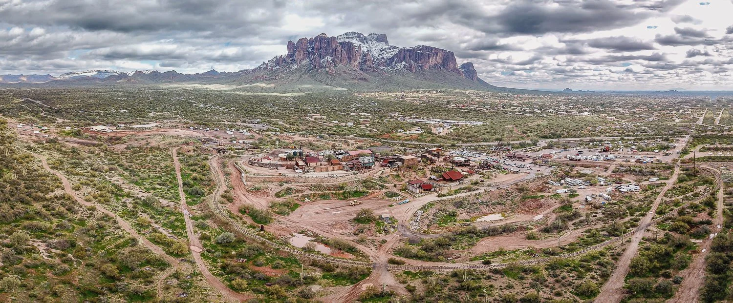
The Superstition Mountains rise behind Goldfield Ghost Town near the beginning of the Apache Trail.